San Secondo Parmense
San Secondo Parmense | |
|---|---|
| Comune di San Secondo Parmense | |
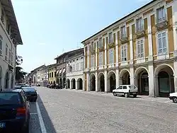 View of San Secondo historical centre. | |
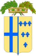
 Coat of arms | |
Location of San Secondo Parmense | |
 San Secondo Parmense Location of San Secondo Parmense in Italy 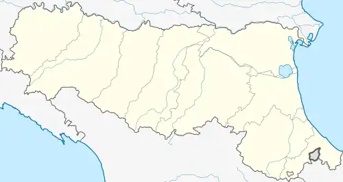 San Secondo Parmense San Secondo Parmense (Emilia-Romagna) | |
| Coordinates: 44°55′N 10°14′E / 44.917°N 10.233°E | |
| Country | Italy |
| Region | Emilia-Romagna |
| Province | Parma (PR) |
| Frazioni | Case Pizzo, Castell'Aicardi, Copezzato, Corticelli, Martorano, Pavarara, Ronchetti, Valle, Villa Baroni |
| Government | |
| • Mayor | Giulia Zucchi |
| Area | |
• Total | 38.2 km2 (14.7 sq mi) |
| Population (30 June 2016)[2] | |
• Total | 5,718 |
| • Density | 150/km2 (390/sq mi) |
| Demonym | Sansecondini (dialect: Sgunden) |
| Time zone | UTC+1 (CET) |
| • Summer (DST) | UTC+2 (CEST) |
| Postal code | 43017 |
| Dialing code | 0521 |
| Patron saint | Blessed Virgin |
| Saint day | 25 March |
| Website | Official website |
San Secondo Parmense (Sansecondino: San Sgond or Sasgon; Parmigiano: San Zgónd) is a comune (municipality) in the Province of Parma in the Italian region Emilia-Romagna, located about 200 kilometres (120 mi) northwest of Bologna and about 15 kilometres (9 mi) northwest of Parma.
San Secondo Parmense borders the following municipalities: Fontanellato, Roccabianca, Sissa Trecasali, Soragna.
The main sights are the Rocca dei Rossi castle and a Romanesque rural church, the Pieve di San Genesio, first documented in the 11th century.
References
- ^ "Superficie di Comuni Province e Regioni italiane al 9 ottobre 2011". Italian National Institute of Statistics. Retrieved 16 March 2019.
- ^ All demographics and other statistics: Italian statistical institute Istat.
External links