Alleghany Springs, Virginia
Alleghany Springs, Virginia | |
|---|---|
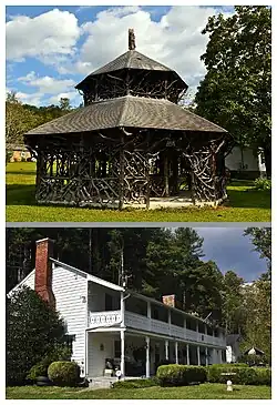 National Register of Historic Places in Alleghany Springs, Virginia. Top: Alleghany Springs Springhouse; Bottom: William Barnett House | |
 Alleghany Springs  Alleghany Springs  Alleghany Springs | |
| Coordinates: 37°07′41″N 80°15′54″W / 37.12806°N 80.26500°W | |
| Country | United States |
| State | Virginia |
| County | Montgomery |
| Elevation | 1,398 ft (426 m) |
| Time zone | UTC-5 (Eastern (EST)) |
| • Summer (DST) | UTC-4 (EDT) |
| Area code | 540 |
| GNIS feature ID | 1462400[1] |
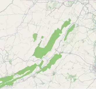
Alleghany Springs is an unincorporated community in Montgomery County, Virginia, United States. Alleghany Springs is located along State Route 637, 7.9 miles (12.7 km) east of Christiansburg.
Alleghany Springs contained a post office from 1854 until the 1940s.[2] The Alleghany Springs Springhouse and William Barnett House are listed on the National Register of Historic Places.[3]
References
- ^ "Alleghany Springs". Geographic Names Information System. United States Geological Survey, United States Department of the Interior.
- ^ "Montgomery County". Jim Forte Postal History. Retrieved September 30, 2014.
- ^ "National Register Information System". National Register of Historic Places. National Park Service. July 9, 2010.
Municipalities and communities of Montgomery County, Virginia, United States | ||
|---|---|---|
| Towns | 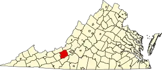 | |
| CDPs | ||
| Unincorporated communities | ||
| Footnotes | ‡This populated place also has portions in an adjacent county or counties | |