Ellett, Virginia
Ellett, Virginia | |
|---|---|
Unincorporated community | |
 National Register of Historic Places at Ellett, Virginia.
Top: Earhart House and Blankenship Farm Bottom: Trinity United Methodist Church | |
 Ellett 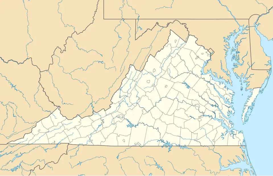 Ellett  Ellett | |
| Coordinates: 37°11′29″N 80°22′00″W / 37.19139°N 80.36667°W | |
| Country | United States |
| State | Virginia |
| County | Montgomery |
| Elevation | 1,522 ft (464 m) |
| Time zone | UTC-5 (Eastern (EST)) |
| • Summer (DST) | UTC-4 (EDT) |
| Area code | 540 |
| GNIS feature ID | 1477300[1] |
Ellett is an unincorporated community in Montgomery County, Virginia, United States. Ellett is located at the junction of State Routes 603 and 723, 3.7 miles (6.0 km) southeast of Blacksburg.
A post office was established at Ellett in 1890, and remained in operation until being discontinued in 1910.[2] The Blankenship Farm, Earhart House, and Trinity United Methodist Church are listed on the National Register of Historic Places.[3]
References
- ^ "Ellett". Geographic Names Information System. United States Geological Survey, United States Department of the Interior.
- ^ "Montgomery County". Jim Forte Postal History. Archived from the original on October 6, 2014. Retrieved September 30, 2014.
- ^ "National Register Information System". National Register of Historic Places. National Park Service. July 9, 2010.
Municipalities and communities of Montgomery County, Virginia, United States | ||
|---|---|---|
| Towns | 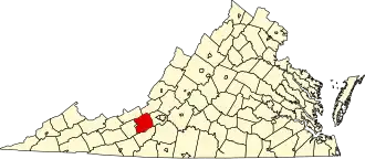 | |
| CDPs | ||
| Unincorporated communities | ||
| Footnotes | ‡This populated place also has portions in an adjacent county or counties | |