Ashurst, Arizona
Ashurst, Arizona | |
|---|---|
Populated place | |
 Ashurst  Ashurst | |
| Coordinates: 32°59′03″N 109°55′56″W / 32.98417°N 109.93222°W | |
| Country | United States |
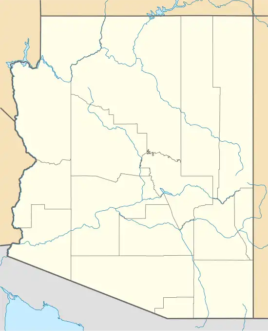
| State | Arizona |
| County | Graham |
| Elevation | 2,740 ft (840 m) |
| Time zone | UTC-7 (Mountain (MST)) |
| • Summer (DST) | UTC-7 (MST) |
| Area code | 520 |
| FIPS code | 04-04475 |
| GNIS feature ID | 25297[1] |
Ashurst is a populated place situated in Graham County, Arizona, United States, and appears on the Eden U.S. Geological Survey Map.[2]
History
Ashurst's population was 95 in 1940.[3]
References
- ^ a b U.S. Geological Survey Geographic Names Information System: Ashurst, Arizona
- ^ "Ashurst (in Graham County, AZ) Populated Place Profile". AZ Hometown Locator. Archived from the original on January 31, 2016. Retrieved January 24, 2016.
- ^ The Attorneys List. United States Fidelity and Guaranty Company, Attorney List Department. 1940. p. 85.
Municipalities and communities of Graham County, Arizona, United States | ||
|---|---|---|
| City |  | |
| Towns | ||
| CDPs | ||
| Populated places | ||
| Indian reservations | ||
| Ghost towns | ||
| Footnotes | ‡This populated place also has portions in an adjacent county or counties | |