Lone Star, Arizona
Lone Star, Arizona | |
|---|---|
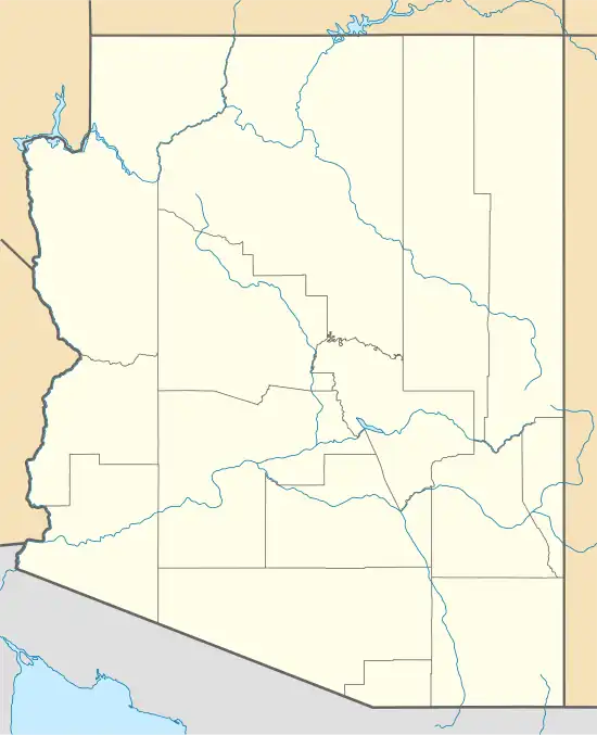 Lone Star Location within the state of Arizona  Lone Star Lone Star (the United States) | |
| Coordinates: 32°48′59″N 109°40′52″W / 32.81639°N 109.68111°W | |
| Country | United States |
| State | Arizona |
| County | Graham |
| Elevation | 2,953 ft (900 m) |
| Time zone | UTC-7 (Mountain (MST)) |
| • Summer (DST) | UTC-7 (MST) |
| Area code | 928 |
| FIPS code | 41820 |
| GNIS feature ID | 7310[1] |
Lone Star is a populated place situated in Graham County, Arizona, United States.[2] The community is located eight miles north of Solomonville and was named after the nearby mine and mountain.[3]
References
- ^ a b U.S. Geological Survey Geographic Names Information System: Lone Star, Arizona
- ^ "Lone Star (in Graham County, AZ) Populated Place Profile". AZ Hometown Locator. Retrieved November 27, 2016.
- ^ Barnes, Will Croft (2016). Arizona Place Names. Tucson: University of Arizona Press. p. 252. ISBN 978-0816534951.
Municipalities and communities of Graham County, Arizona, United States | ||
|---|---|---|
| City |  | |
| Towns | ||
| CDPs | ||
| Populated places | ||
| Indian reservations | ||
| Ghost towns | ||
| Footnotes | ‡This populated place also has portions in an adjacent county or counties | |