At-Taibah District, Irbid
Al-Taybeh District
لواء الطيبة | |
|---|---|
District | |
| Liwā’aţ Ţayibeh | |
 Great Mosque, Taybeh | |
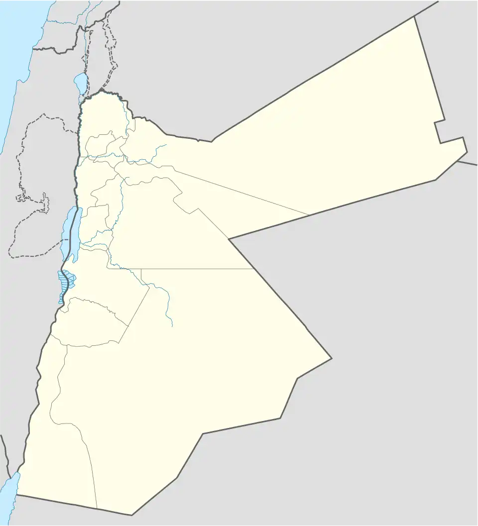 Al-Taybeh District | |
| Coordinates: 32°33′13″N 35°41′34″E / 32.5537°N 35.6929°E | |
| Country | Jordan |
| Province | Irbid |
| Area | |
• Total | 63.47 km2 (24.51 sq mi) |
| Elevation | 388.3 m (1,274.0 ft) |
| Population (2015) | |
• Total | 51,501 |
| • Density | 811.4/km2 (2,102/sq mi) |
| Time zone | UTC3 (GMT +3) |
| ZIP Code | 21810 |
| Geocode | AJLUN-VHACL |
Aṭ-Ṭaībah District, also known as Al-Taybeh (Arabic: الطيبة), is one of the districts of Irbid Governorate in Jordan.[1][2] This administrative division encompasses several villages, with Taibah serving as its central hub. Other villages under its jurisdiction include Samma, Dīr as-Sa'nah, Makhraaba, Mindah, Zibdah, and Absir Abū Alī.
Geographic location
Aṭ-Ṭaībah District is strategically positioned between the Al-Kūrah and Al-Wasṭīyah districts, as well as the Northern Jordan Valley and the western municipality of Irbid.
Notable landmarks
- The Great Mosque of Taybeh (مسجد الطيبة الكبير)
References
- ^ "Jordan: Administrative Division, Governorates and Districts".
- ^ "Atlas of ELECTORAL DISTRICTS". Archived from the original (PDF) on 2017-12-15. Retrieved 2019-02-16.
| Capital | |
|---|---|
| Departments | |
| Cities and towns | |
| Others | |