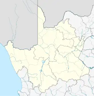
Augrabies, South Africa
Augrabies | |
|---|---|
 Augrabies  Augrabies | |
| Coordinates: 28°39′36″S 20°25′50″E / 28.66000°S 20.43056°E | |
| Country | South Africa |
| Province | Northern Cape |
| District | ZF Mgcawu |
| Municipality | Kai !Garib |
| Area | |
• Total | 3.82 km2 (1.47 sq mi) |
| Population (2011)[1] | |
• Total | 3,627 |
| • Density | 950/km2 (2,500/sq mi) |
| Racial makeup (2011) | |
| • Black African | 36.8% |
| • Coloured | 47.1% |
| • Indian/Asian | 2.8% |
| • White | 9.4% |
| • Other | 3.9% |
| First languages (2011) | |
| • Afrikaans | 66.7% |
| • Tswana | 28.8% |
| • English | 1.6% |
| • Other | 2.8% |
| Time zone | UTC+2 (SAST) |
| PO box | 8874 |
| Area code | 054 |
Augrabies /ɔːˈxrɑːbiːz/ is a small town in the Northern Cape province of South Africa, situated on the south bank of the Orange River about 100 kilometres (60 mi) downstream from Upington.[2] It is located on the R359 road just outside the Augrabies Falls National Park, which contains the Augrabies Falls for which the town is named.[3]
References
- ^ a b c d "Main Place Augrabies". Census 2011.
- ^ "Augrabies". Northern Cape Tourism Authority. Archived from the original on 22 February 2010. Retrieved 11 March 2010.
- ^ "Augrabies Attractions". SA-Venues.com. Retrieved 11 March 2010.
Municipalities and communities of ZF Mgcawu District Municipality, Northern Cape | ||
|---|---|---|
District seat: Upington | ||
| Dawid Kruiper | .svg.png) | |
| Kai !Garib | ||
| Kgatelopele | ||
| !Kheis | ||
| Tsantsabane | ||