Hawassa Airport
Hawassa Airport ሀዋሳ አውሮፕላን ወደብ | |||||||||||||||
|---|---|---|---|---|---|---|---|---|---|---|---|---|---|---|---|
| Summary | |||||||||||||||
| Airport type | Public | ||||||||||||||
| Serves | Hawassa | ||||||||||||||
| Elevation AMSL | 5,604 ft / 1,708 m | ||||||||||||||
| Coordinates | 7°05′42″N 38°23′54″E / 7.09500°N 38.39833°E | ||||||||||||||
| Map | |||||||||||||||
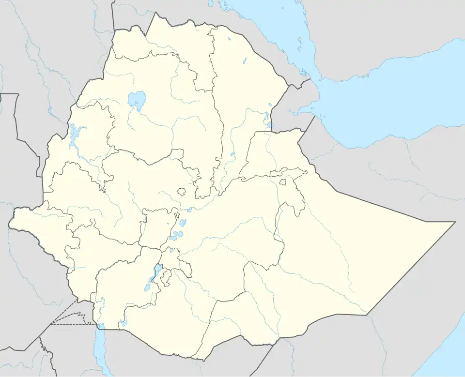 AWA Location of the airport in Ethiopia | |||||||||||||||
| Runways | |||||||||||||||
| |||||||||||||||
Hawassa Airport (Amharic: ሀዋሳ አውሮፕላን መንገድ; Aw'asa) (IATA: AWA, ICAO: HALA) is Sub Ethiopian Airlines which serves in Hawassa, Sidama Region, Ethiopia. The construction of the airport (Coordinates: 7°05′42″N 38°23′54″E / 7.09500°N 38.39833°E) started at the beginning of 2015.[3] The old dirt runway[4] is within the city, at 7°04′00″N 38°29′25″E / 7.06667°N 38.49028°E.
Airlines and destinations
| Airlines | Destinations |
|---|---|
| Ethiopian Airlines | Addis Ababa |
See also
References
- ^ Google Maps - New airport location
- ^ Airport information for AWA at Great Circle Mapper.
- ^ The Reporter Archived April 20, 2016, at the Wayback Machine Hawassa Airport to commence operation
- ^ "Google Maps". Google Maps. Retrieved 2018-08-20.