Bad Emstal
Bad Emstal | |
|---|---|
Location of Bad Emstal within Kassel district 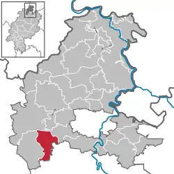 | |
 Bad Emstal 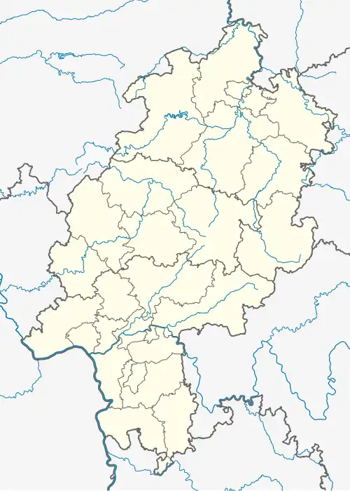 Bad Emstal | |
| Coordinates: 51°14′N 9°15′E / 51.233°N 9.250°E | |
| Country | Germany |
| State | Hesse |
| Admin. region | Kassel |
| District | Kassel |
| Government | |
| • Mayor (2024–30) | Daniel Rudenko[1] (CDU) |
| Area | |
• Total | 38.67 km2 (14.93 sq mi) |
| Elevation | 260 m (850 ft) |
| Population (2023-12-31)[2] | |
• Total | 5,608 |
| • Density | 150/km2 (380/sq mi) |
| Time zone | UTC+01:00 (CET) |
| • Summer (DST) | UTC+02:00 (CEST) |
| Postal codes | 34308 |
| Dialling codes | 05624 |
| Vehicle registration | KS |
| Website | www.bad-emstal.de |
Bad Emstal is a municipality in the district of Kassel, in Hesse, Germany. It is situated 19 km southwest of Kassel, Germany.
Demographics
Bad Emstal is 20 km in the south-west of the main district city Kassel. The commune is surrounded by the national park Habichtswald.
Localities
References
- ^ "Ergebnisse der jeweils letzten Direktwahl von Landrätinnen und Landräte sowie (Ober-)Bürgermeisterinnen und (Ober-)Bürgermeister in Hessen" (XLS) (in German). Hessisches Statistisches Landesamt. 21 May 2024.
- ^ "Bevölkerung in Hessen am 31.12.2023] (Einwohnerzahlen auf Grundlage des Zensus 2022)" (XLS) (in German). Hessisches Statistisches Landesamt.
Towns and municipalities in Kassel district | ||
|---|---|---|
 | ||