Grebenstein
Grebenstein | |
|---|---|
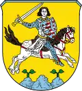 Coat of arms | |
Location of Grebenstein within Kassel district 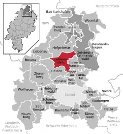 | |
 Grebenstein 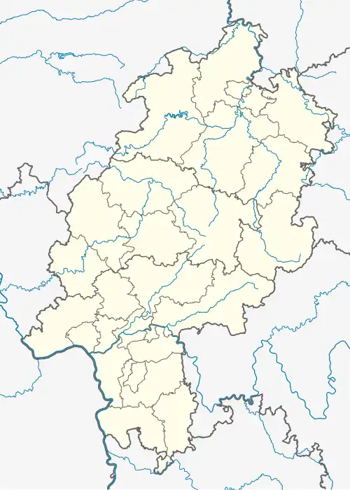 Grebenstein | |
| Coordinates: 51°27′N 09°25′E / 51.450°N 9.417°E | |
| Country | Germany |
| State | Hesse |
| Admin. region | Kassel |
| District | Kassel |
| Government | |
| • Mayor (2022–28) | Danny Sutor[1] |
| Area | |
• Total | 49.84 km2 (19.24 sq mi) |
| Elevation | 249 m (817 ft) |
| Population (2023-12-31)[2] | |
• Total | 5,302 |
| • Density | 110/km2 (280/sq mi) |
| Time zone | UTC+01:00 (CET) |
| • Summer (DST) | UTC+02:00 (CEST) |
| Postal codes | 34393 |
| Dialling codes | 05674 |
| Vehicle registration | KS or HOG |
| Website | www |
Grebenstein (German pronunciation: [ˈɡʁeːbm̩ˌʃtaɪn] ⓘ; Low German: Grebensteen) is a town in the district of Kassel, in Hesse, Germany. It is located 16 km northwest of Kassel on the German Timber-Frame Road. In 1762 it was the scene of a skirmish between British and French troops during the Seven Years' War.
Gallery
-
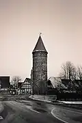 One of the historic towers on the town wall
 -
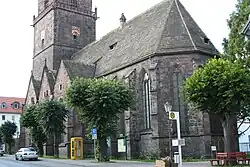 Parish church, 2005
References
- ^ "Ergebnisse der letzten Direktwahl aller hessischen Landkreise und Gemeinden" (XLS) (in German). Hessisches Statistisches Landesamt. 5 September 2022.
- ^ "Bevölkerung in Hessen am 31.12.2023] (Einwohnerzahlen auf Grundlage des Zensus 2022)" (XLS) (in German). Hessisches Statistisches Landesamt.
External links
- City's Homepage (in German)
Wikimedia Commons has media related to Grebenstein, Germany.
Towns and municipalities in Kassel district | ||
|---|---|---|
 | ||