Blackburn, Arkansas
Blackburn, Arkansas | |
|---|---|
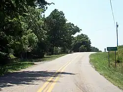 Entrance to Blackburn on Highway 74 | |
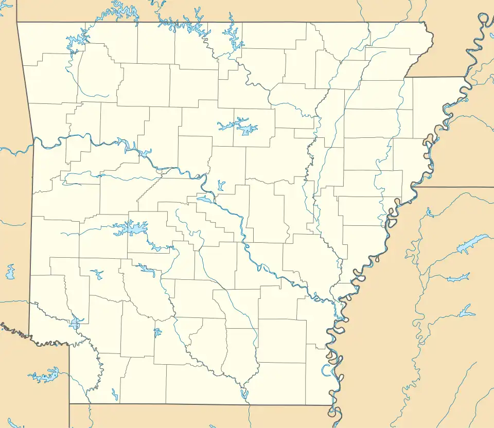 Blackburn, Arkansas Blackburn's position in Arkansas.  Blackburn, Arkansas Blackburn, Arkansas (the United States) | |
| Coordinates: 35°48′59″N 94°13′11″W / 35.81639°N 94.21972°W | |
| Country | United States |
| State | Arkansas |
| County | Washington |
| Township | Lee's Creek |
| Elevation | 1,890 ft (576 m) |
| Time zone | UTC-6 (Central (CST)) |
| • Summer (DST) | UTC-5 (CDT) |
| Area code | 479 |
| GNIS feature ID | 70703 |
| U.S. Geological Survey Geographic Names Information System: Blackburn, Arkansas | |
Blackburn is an unincorporated community in Lee's Creek Township, Washington County, Arkansas, United States.[1] It is located on Arkansas Highway 74, northeast of Devil's Den State Park.[2]
A post office called Blackburn was established in 1880, and remained in operation until 1952.[3][4]
References
- ^ a b "Feature Detail Report for: Blackburn, Arkansas." USGS. U.S. Geological Survey Geographic Names Information System: Blackburn, Arkansas Retrieved April 26, 2011.
- ^ Arkansas Atlas and Gazetteer (Map) (Second ed.). DeLorme. 2002. p. 30. ISBN 0-89933-345-1.
- ^ "Post Offices". Jim Forte Postal History. Retrieved February 4, 2018.
- ^ History of Benton, Washington, Carroll, Madison, Crawford, Franklin, and Sebastian Counties, Arkansas. Higginson Book Company. 1889. p. 318.
