Carter, Arkansas
Carter, Arkansas | |
|---|---|
Historical unincorporated community | |
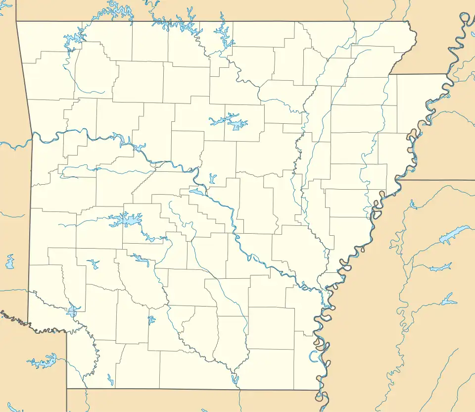 Carter, Arkansas Carter's position in Arkansas. | |
| Coordinates: 35°55′37″N 94°3′8″W / 35.92694°N 94.05222°W | |
| Country | |
| State | |
| County | Washington |
| Township | White River |
| Elevation | 407 m (1,335 ft) |
| Time zone | UTC-6 (Central (CST)) |
| • Summer (DST) | UTC-5 (CDT) |
| ZIP code | 72701 |
| Area code | 479 |
| GNIS feature ID | 65300[1] |
Carter (1960–2018) was an unincorporated community in Washington County, Arkansas, United States.[1] It is located on Arkansas Highway 74 between Arnett and Sulphur City. At times it was also known as Carter's Store, Carter Store, and Hicks.[2] A post office, for all these names at different times existed from 1875 to 1953. The community has the name of John C. Carter, first postmaster.[3]
References
- ^ a b c U.S. Geological Survey Geographic Names Information System: Carter, Arkansas
- ^ "Carter's Store/Hicks WC 43 NO POST OFFICE". A.D. Poole. Archived from the original on February 22, 2014. Retrieved June 8, 2013.
- ^ History of Benton, Washington, Carroll, Madison, Crawford, Franklin, and Sebastian Counties, Arkansas. Higginson Book Company. 1889. p. 319.
