Bouër
Bouër | |
|---|---|
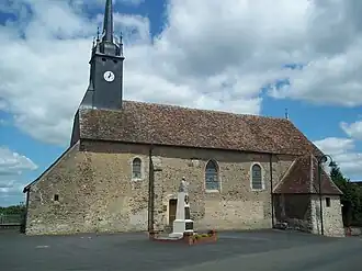 The church of Saint-Pierre | |
Location of Bouër | |
 Bouër  Bouër | |
| Coordinates: 48°04′56″N 0°37′47″E / 48.0822°N 0.6297°E | |
| Country | France |
| Region | Pays de la Loire |
| Department | Sarthe |
| Arrondissement | Mamers |
| Canton | La Ferté-Bernard |
| Intercommunality | CC du Perche Emeraude |
| Government | |
| • Mayor (2022–2026) | Serge Auger[1] |
Area 1 | 12 km2 (5 sq mi) |
| Population (2022)[2] | 352 |
| • Density | 29/km2 (76/sq mi) |
| Demonym(s) | Bouëriens, Bouërienne |
| Time zone | UTC+01:00 (CET) |
| • Summer (DST) | UTC+02:00 (CEST) |
| INSEE/Postal code | 72041 /72390 |
| Elevation | 85–192 m (279–630 ft) |
| 1 French Land Register data, which excludes lakes, ponds, glaciers > 1 km2 (0.386 sq mi or 247 acres) and river estuaries. | |
Bouër is a commune in the Sarthe department in the region of Pays de la Loire in north-western France.
See also
References
- ^ "Répertoire national des élus: les maires" (in French). data.gouv.fr, Plateforme ouverte des données publiques françaises. 6 June 2023.
- ^ "Populations de référence 2022" (in French). The National Institute of Statistics and Economic Studies. 19 December 2024.
Wikimedia Commons has media related to Bouër.