Bouddi, New South Wales
| Bouddi Central Coast, New South Wales | |||||||||||||||
|---|---|---|---|---|---|---|---|---|---|---|---|---|---|---|---|
 | |||||||||||||||
 Bouddi | |||||||||||||||
| Coordinates | 33°31′05″S 151°24′00″E / 33.518°S 151.400°E | ||||||||||||||
| Population | 5 (SAL 2021)[1] | ||||||||||||||
| Postcode(s) | 2251 | ||||||||||||||
| Elevation | 160 m (525 ft) | ||||||||||||||
| Location | |||||||||||||||
| LGA(s) | Central Coast Council | ||||||||||||||
| Parish | Kincumber | ||||||||||||||
| State electorate(s) | Terrigal | ||||||||||||||
| Federal division(s) | Robertson | ||||||||||||||
| |||||||||||||||
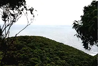
Bouddi (/bʊdaɪ/) is a coastal south-eastern locality on the Central Coast of New South Wales, Australia. It is in the Central Coast Council local government area. Bouddi is the Aboriginal word for the heart.[2]
The Bouddi area locally refers to the Bouddi Peninsula and the associated suburbs of Killcare, Killcare Heights, Hardys Bay, Pretty Beach, Wagstaffe and Macmasters Beach. All of these suburbs/villages fringe Bouddi National Park that includes Maitland Bay.
See also
Notes
- ^ Australian Bureau of Statistics (28 June 2022). "Bouddi (suburb and locality)". Australian Census 2021 QuickStats. Retrieved 28 June 2022.
- ^ Bennett p. 17
References
- Bennett, F. C., ed. (1981). The Story of the Aboriginal People of the Central Coast of New South Wales. Brisbane Water Historical Society and The Entrance and District Historical Society (Jointly).