Brock Island
 Brock Island, Northwest Territories | |
 Brock Island 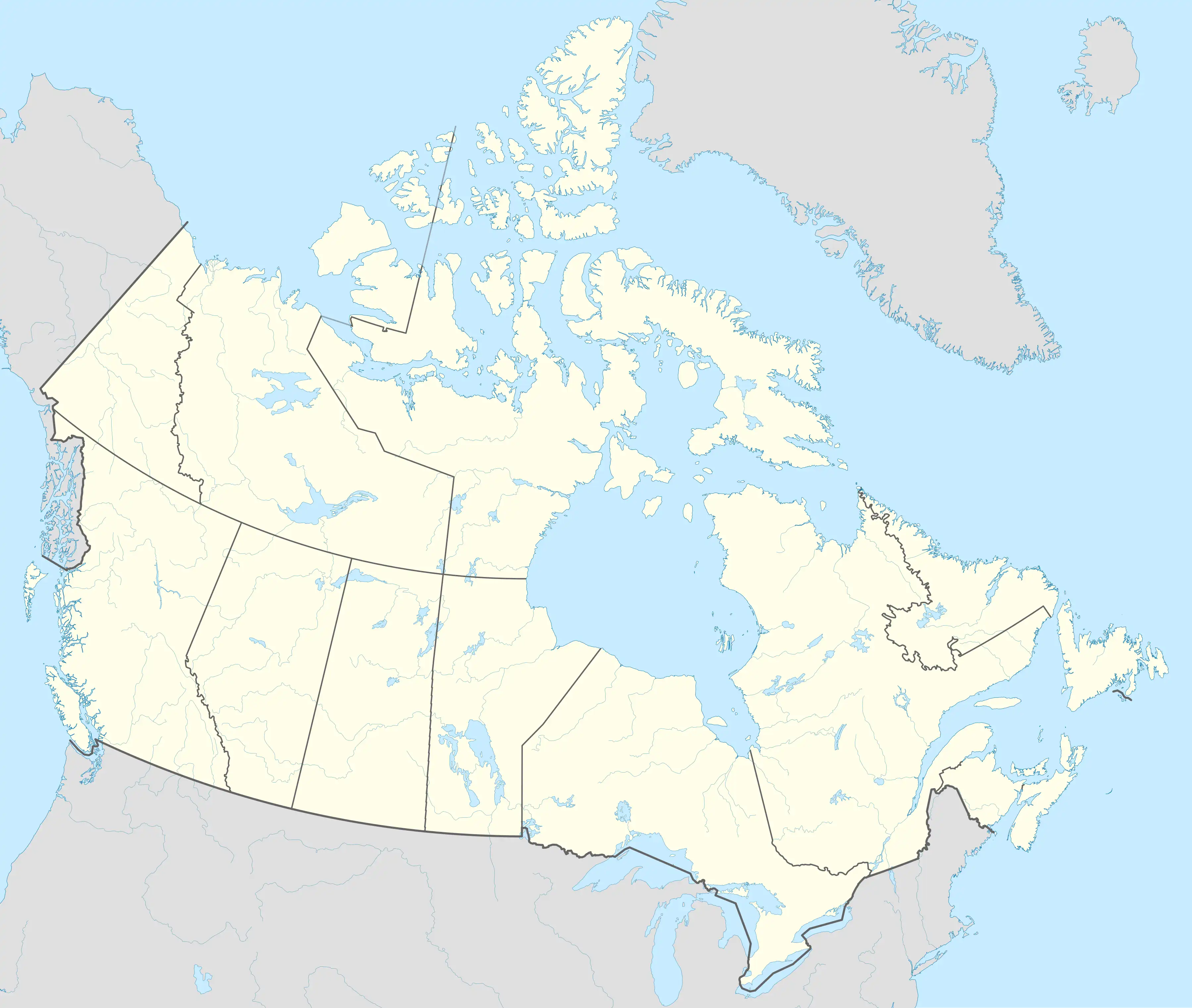 Brock Island | |
| Geography | |
|---|---|
| Location | Northern Canada |
| Coordinates | 77°51′N 114°27′W / 77.850°N 114.450°W |
| Archipelago | Queen Elizabeth Islands Arctic Archipelago |
| Area | 764 km2 (295 sq mi) |
| Length | 41 km (25.5 mi) |
| Width | 39 km (24.2 mi) |
| Administration | |
Canada | |
| Territory | Northwest Territories |
| Demographics | |
| Population | Uninhabited |
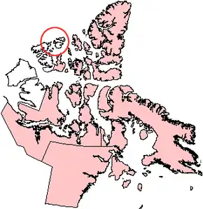
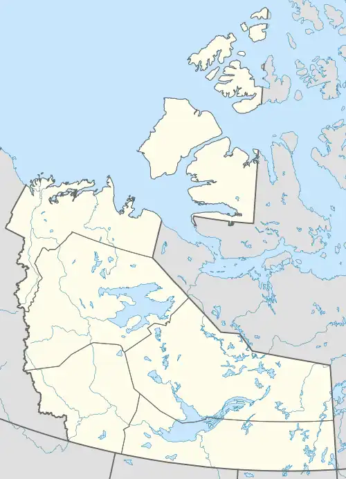
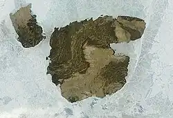
Brock Island is one of the uninhabited members of the Queen Elizabeth Islands of the Arctic Archipelago located in the Northwest Territories, Canada. Located at 77°51'N 114°27'W, it measures 764 km2 (295 sq mi) in size and lies close to Mackenzie King Island. The first known sighting of the island by a European was by Vilhjalmur Stefansson in 1915 and it was later named for Reginald W. Brock, Dean of Applied Science at the University of British Columbia.[1]
References
- ^ Stefansson, Vilhjalmur (1922). The Friendly Arctic: The Story of Five Years in Polar Regions. New York: Macmillan.
External links
- Brock Island in the Atlas of Canada - Toporama; Natural Resources Canada