Ulvingen Island
 Ulvingen Island  Ulvingen Island | |
| Geography | |
|---|---|
| Location | Norwegian Bay |
| Coordinates | 78°20′N 088°12′W / 78.333°N 88.200°W / 78.333; -88.200 (Ulvingen Island) |
| Archipelago | Sverdrup Islands Queen Elizabeth Islands Arctic Archipelago |
| Area | 87 km2 (34 sq mi) |
| Administration | |
Canada | |
| Territory | Nunavut |
| Region | Qikiqtaaluk |
| Demographics | |
| Population | Uninhabited |
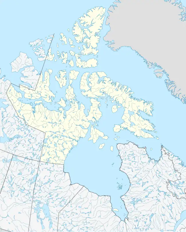
Ulvingen Island is one of the uninhabited islands in Qikiqtaaluk Region, Nunavut, Canada. It is located in Norwegian Bay between Axel Heiberg Island and Ellesmere Island's Raanes Peninsula. It is a member of the Sverdrup Islands, Queen Elizabeth Islands, and the Arctic Archipelago. Hare Point (78°14′03″N 088°20′27″W / 78.23417°N 88.34083°W / 78.23417; -88.34083 (Hare Point (Ulvingen Island))) is situated at the island's southern tip.[1]
References
- ^ "Ulvingen Island". travelingluck.com. Retrieved 2009-06-17.
External links
- Ulvingen Island in the Atlas of Canada - Toporama; Natural Resources Canada
Arctic Cordillera of Canada | |
|---|---|
| Ranges |
|
| Mountains | |
| Passes | |
| Glaciers | |
| Regions | |
| Communities | |
| Parks | |
Islands of the Qikiqtaaluk Region | |||||||||
|---|---|---|---|---|---|---|---|---|---|
| |||||||||
| Belcher Islands | |||||||||
| Islands of Cumberland Sound |
| ||||||||
| Islands of Davis Strait | |||||||||
| Islands of Foxe Basin | |||||||||
| Islands of Frobisher Bay |
| ||||||||
| Islands of the Gulf of Boothia | |||||||||
| Islands of Hudson Bay | |||||||||
| Islands of Hudson Strait |
| ||||||||
| Islands of James Bay | |||||||||
| Islands of the Labrador Sea | |||||||||
| Queen Elizabeth Islands |
| ||||||||
See also Islands of the Kitikmeot Region, Islands of the Kivalliq Region. | |||||||||
This article is issued from Wikipedia. The text is available under Creative Commons Attribution-Share Alike 4.0 unless otherwise noted. Additional terms may apply for the media files.