Capri Village
Capri Village | |
|---|---|
 Capri Village  Capri Village | |
| Coordinates: 34°8′7″S 18°23′12″E / 34.13528°S 18.38667°E | |
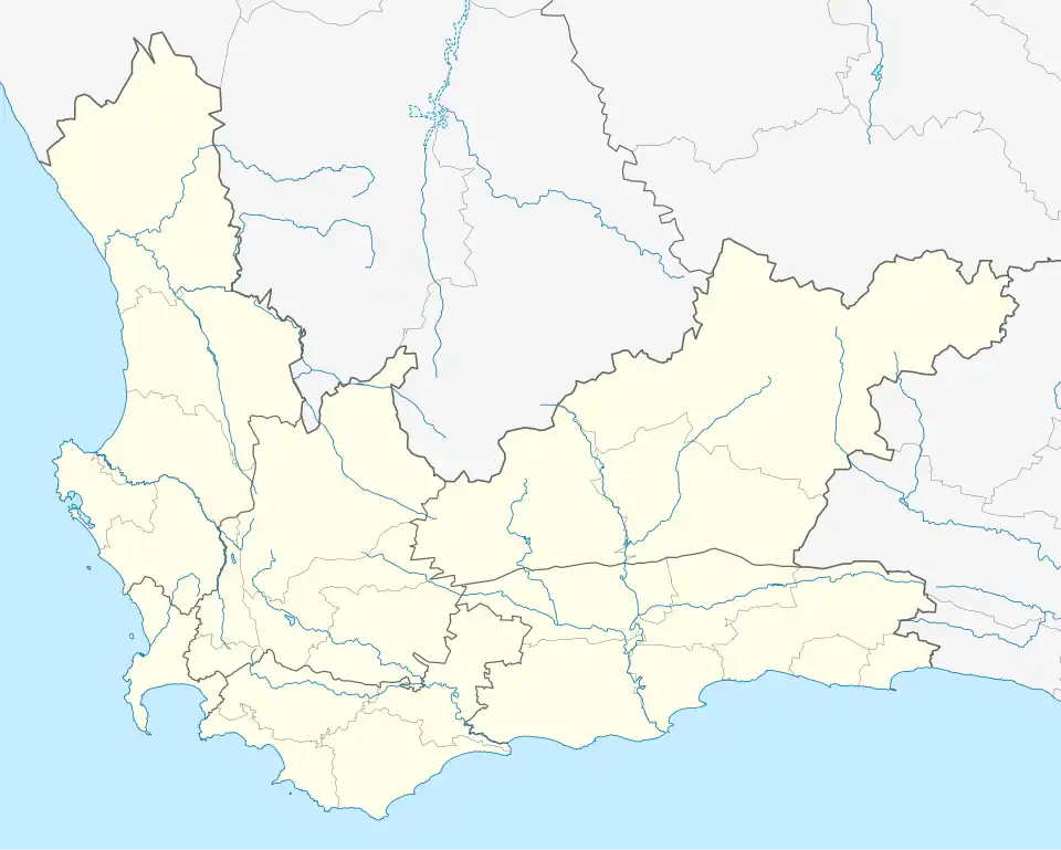
| Country | South Africa |
| Province | Western Cape |
| Municipality | City of Cape Town |
| Main Place | Noordhoek |
| Area | |
• Total | 4.54 km2 (1.75 sq mi) |
| Population (2011)[1] | |
• Total | 3,061 |
| • Density | 670/km2 (1,700/sq mi) |
| Racial makeup (2011) | |
| • Black African | 9.3% |
| • Coloured | 5.7% |
| • Indian/Asian | 1.9% |
| • White | 81.3% |
| • Other | 1.8% |
| First languages (2011) | |
| • English | 81.7% |
| • Afrikaans | 11.4% |
| • Other | 6.9% |
| Time zone | UTC+2 (SAST) |
| Postal code (street) | 7975 |
Capri Village is a small suburb forming part of the greater area of Noordhoek on the Cape Peninsula, South Africa, situated between Kommetjie, De Oude Weg, Fish Hoek and Noordhoek.
References
- ^ a b c d "Sub Place Capri Village". Census 2011.