Mandalay, Mitchells Plain
Mandalay | |
|---|---|
 Mandalay  Mandalay | |
| Coordinates: 34°00′59″S 18°37′34″E / 34.0163°S 18.626°E | |
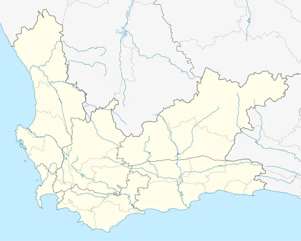
| Country | South Africa |
| Province | Western Cape |
| Municipality | City of Cape Town |
| Main Place | Mitchells Plain, Cape Town |
| Area | |
• Total | 2.25 km2 (0.87 sq mi) |
| Population (2011)[1] | |
• Total | 8,839 |
| • Density | 3,900/km2 (10,000/sq mi) |
| Racial makeup (2011) | |
| • Black African | 80.91% |
| • Coloured | 12.85% |
| • Indian/Asian | 0.33% |
| • White | 0.21% |
| • Other | 1.30% |
| First languages (2011) | |
| • Afrikaans | 9.66% |
| • English | 17.24% |
| • IsiXhosa | 67.93% |
| Time zone | UTC+2 (SAST) |
Mandalay is a neighbourhood in the northeastern corner of the Mitchells Plain urban area of the City of Cape Town in the Western Cape province of South Africa.
References
- ^ a b c d "Sub Place Mandalay". Census 2011.