Chambellay
Chambellay | |
|---|---|
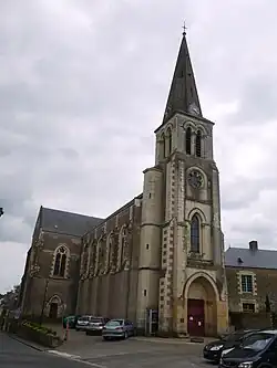 The church in Chambellay | |
.svg.png) Coat of arms | |
Location of Chambellay | |
 Chambellay  Chambellay | |
| Coordinates: 47°41′28″N 0°40′56″W / 47.6911°N 0.6822°W | |
| Country | France |
| Region | Pays de la Loire |
| Department | Maine-et-Loire |
| Arrondissement | Segré |
| Canton | Tiercé |
| Intercommunality | Vallées du Haut-Anjou |
| Government | |
| • Mayor (2020–2026) | Jean Pagis[1] |
Area 1 | 12.86 km2 (4.97 sq mi) |
| Population (2022)[2] | 409 |
| • Density | 32/km2 (82/sq mi) |
| Demonym(s) | Cambolitain, Cambolitaine |
| Time zone | UTC+01:00 (CET) |
| • Summer (DST) | UTC+02:00 (CEST) |
| INSEE/Postal code | 49064 /49220 |
| Elevation | 17–76 m (56–249 ft) (avg. 75 m or 246 ft) |
| 1 French Land Register data, which excludes lakes, ponds, glaciers > 1 km2 (0.386 sq mi or 247 acres) and river estuaries. | |
Chambellay (French pronunciation: [ʃɑ̃bɛlɛ] ⓘ) is a commune in the Maine-et-Loire department in western France.
See also
References
- ^ "Répertoire national des élus: les maires". data.gouv.fr, Plateforme ouverte des données publiques françaises (in French). 2 December 2020.
- ^ "Populations de référence 2022" (in French). The National Institute of Statistics and Economic Studies. 19 December 2024.
Wikimedia Commons has media related to Chambellay.