Chapkut
Chapkut
Ճապկուտ | |
|---|---|
 Chapkut 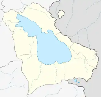 Chapkut | |
| Coordinates: 40°39′01″N 45°12′36″E / 40.65028°N 45.21000°E | |
| Country | |
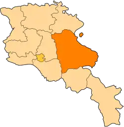
| Province | Gegharkunik |
| Municipality | Chambarak |
| Elevation | 1,793 m (5,883 ft) |
| Population (2011) | |
• Total | 0 |
| Time zone | UTC+4 (AMT) |
Chapkut (Armenian: Ճապկուտ) is an abandoned village in the Chambarak Municipality of the Gegharkunik Province of Armenia.
External links
- Chapkut at GEOnet Names Server
- Report of the results of the 2001 Armenian Census, Statistical Committee of Armenia
- Kiesling, Brady (June 2000). Rediscovering Armenia: An Archaeological/Touristic Gazetteer and Map Set for the Historical Monuments of Armenia (PDF). Archived (PDF) from the original on 6 November 2021.