Varser
Varser
Վարսեր | |
|---|---|
.jpg) A view of Varser | |
 Varser 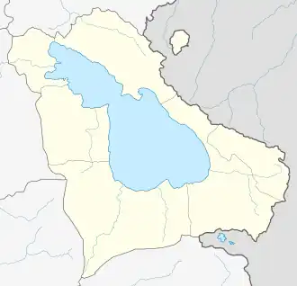 Varser | |
| Coordinates: 40°33′16″N 44°54′29″E / 40.55444°N 44.90806°E | |
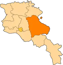
| Country | Armenia |
| Province | Gegharkunik |
| Municipality | Sevan |
| Elevation | 1,917 m (6,289 ft) |
| Population | |
• Total | 1,901 |
| Time zone | UTC+4 (AMT) |
| Postal code | 1515 |
| Varser at GEOnet Names Server | |
Varser (Armenian: Վարսեր) is a village in the Sevan Municipality of the Gegharkunik Province of Armenia.
Etymology
The name Varser is derived from a root word meaning "hair". According to popular folklore, this refers to a girl who drowned in Lake Sevan, after which her long hair spread out across the water.[2] The village was also previously known as Chirchir and Chrchr until 1946.
History
The village is first mentioned in the 9th century as a gift of Ashot II Bagratuni to an "Apostles' Church".[2] Most of the Armenians in the village are descendants of migrants from Bitlis and Maku in Western Armenia, today located in southeastern Turkey and northwestern Iran, respectively.
Gallery
-
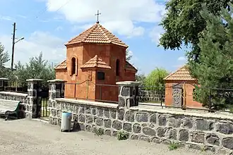 Church in Varser
 -
 WWII monument
 -
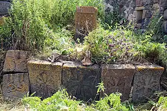 Khachkars in Varser
 -
 Chapel near the village cemetery
 -
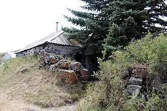 Tsaghkavank
 -
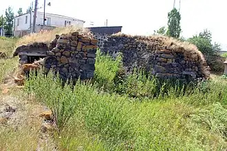 Church ruins
 -
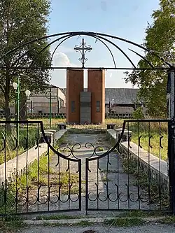
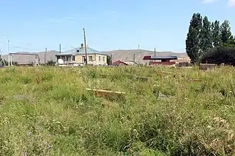 Varser cemetery
References
- ^ Statistical Committee of Armenia. "The results of the 2011 Population Census of Armenia" (PDF).
- ^ a b Kiesling, Brady; Kojian, Raffi (2005). Rediscovering Armenia: Guide (2nd ed.). Yerevan: Matit Graphic Design Studio. p. 74. ISBN 99941-0-121-8.
External links
Wikimedia Commons has media related to Varser.
- Report of the results of the 2001 Armenian Census, Statistical Committee of Armenia
- Kiesling, Brady (June 2000). Rediscovering Armenia: An Archaeological/Touristic Gazetteer and Map Set for the Historical Monuments of Armenia (PDF). Archived (PDF) from the original on 6 November 2021.