Chhaeb District
Chhaeb
ឆែប | |
|---|---|
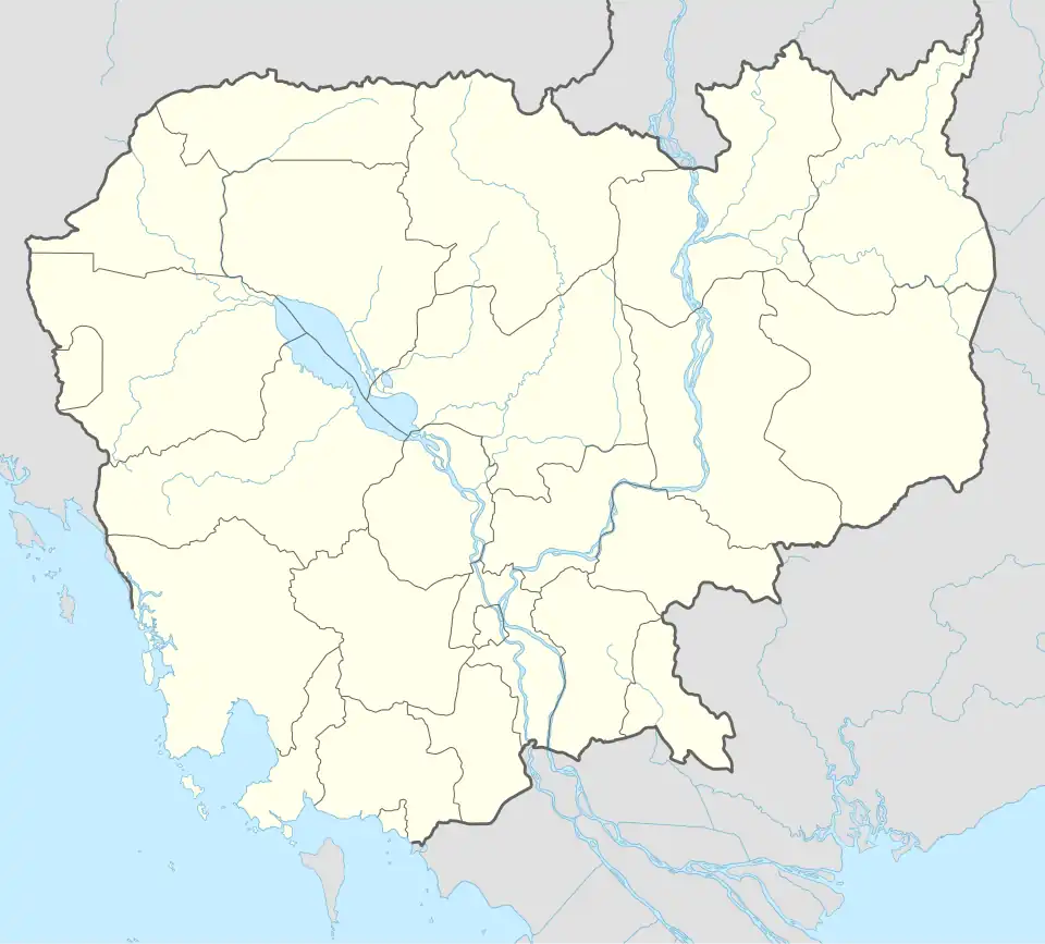 Chhaeb Location in Cambodia | |
| Coordinates: 13°54′39″N 105°27′42″E / 13.91077°N 105.4618°E | |
| Country | |
| Province | Preah Vihear |
| Communes | 8 |
| Villages | 26 |
| Population (2008)[1] | |
• Total | 16,731 |
| Time zone | +7 |
| Geocode | 1302 |
Chhaeb District (Khmer: ឆែប) is a district located in Preah Vihear Province, in northern Cambodia. According to the 1998 census of Cambodia, it had a population of 12,450.[2] The population recorded by the 2008 census was 16,731.[1]
Administration
As of 2020, the district contains the following khums (communes).[3]
| Code | Commune | Khmer |
|---|---|---|
| 130201 | Chhaeb Muoy | ឃុំឆែបមួយ |
| 130202 | Chhaeb Pir | ឃុំឆែបពីរ |
| 130203 | Sangkae Muoy | ឃុំសង្កែមួយ |
| 130204 | Sangkae Pir | ឃុំសង្កែពីរ |
| 130205 | Mlu Prey Muoy | ឃុំម្លូព្រៃមួយ |
| 130206 | Mlu Prey Pir | ឃុំម្លូព្រៃពីរ |
| 130207 | Kampong Sralau Muoy | ឃុំកំពង់ស្រឡៅមួយ |
| 130208 | Kampong Sralau Pir | ឃុំកំពង់ស្រឡៅពីរ |
References
- ^ a b "2008 Census – Chhaeb District". opendevelopmentcambodia.net. Open Development Cambodia. Retrieved 19 May 2020.
- ^ "General Population Census of Cambodia 1998, Final Census Results" (PDF). National Institute of Statistics, Ministry of Planning, Cambodia. August 2002. p. 184. Retrieved 25 November 2010.
- ^ "Cambodia Gazetteer Database Online". ncdd.gov.kh. National Committee for Sub-National Democratic Development. Retrieved 19 May 2020.
Capital: Preah Vihear | ||
| Districts |  | |
| Autonomous municipality |
| ||
|---|---|---|---|
| Provinces | |||