Samraong Tong District
Samraong Tong
ស្រុកសំរោងទង | |
|---|---|
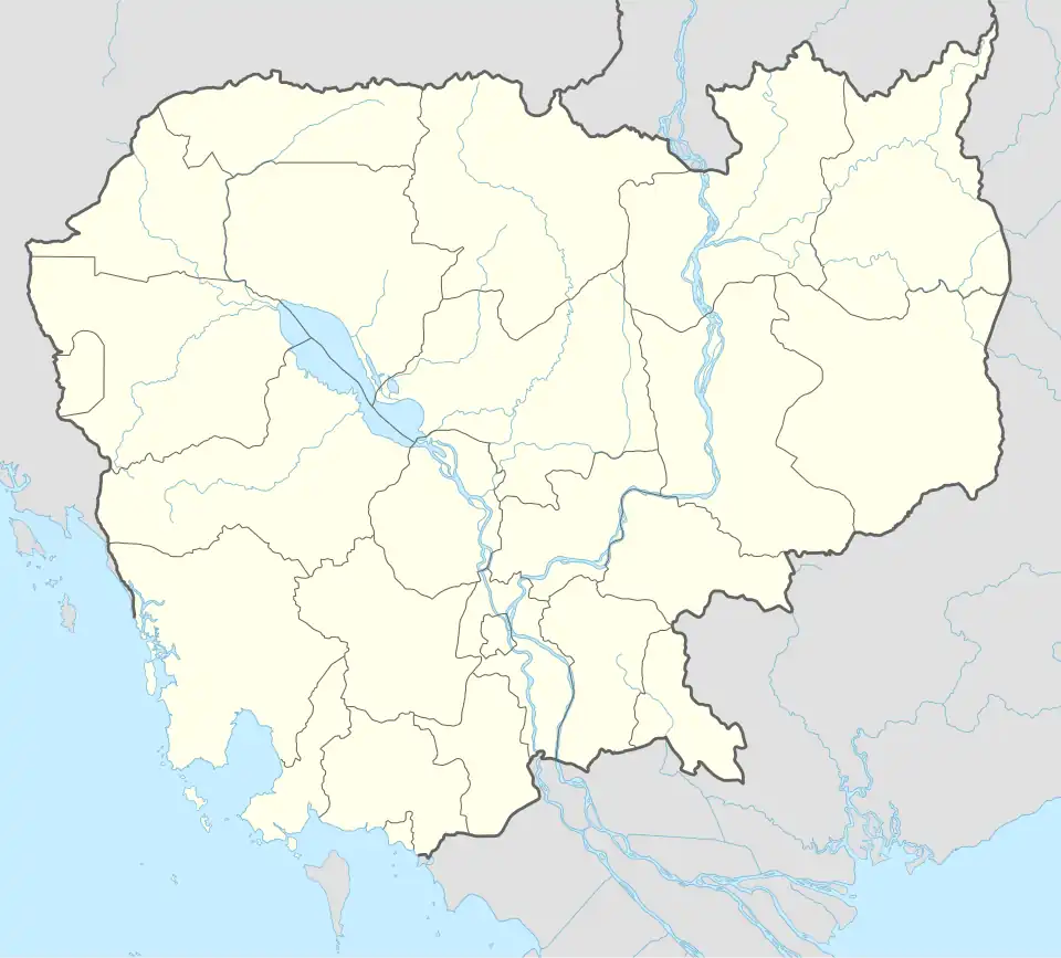 Samraong Tong Location in Cambodia | |
| Coordinates: 11°28′N 104°32′E / 11.467°N 104.533°E | |
| Country | |
| Province | Kampong Speu |
| Communes | 15 |
| Villages | 257 |
| Population (2019)[1] | |
• Total | 182,774 |
| Time zone | +7 |
| Geocode | 0507 |
Samraong Tong District (Khmer: ស្រុកសំរោងទង) is a district located in Kampong Speu Province in central Cambodia. The district has a land area of about 734.1 Km². The annual population change from 2008-2019 is about 2.3%
Administration
| Khum (Commune) Khmer: ឃុំ | Phum (Villages) Khmer: ភូមិ |
|---|---|
| រលាំងចក | 19 |
| កាហែង |
15 |
| ខ្ទុំក្រាង | 14 |
| ព្នាយ | 20 |
| រលាំងគ្រើល | 26 |
| សំរោងទង | 18 |
| សំបូរ | 18 |
| សែនដី | 21 |
| ស្គុះ | 21 |
| តាំងក្រូច | 17 |
| ធម្មតាអរ | 21 |
| ត្រពាំងគង | 29 |
| ទំព័រមាស | 13 |
| វល្លិសរ | 23 |
| ក្រាំងអំពិល | 15 |
| សរុប | 257 |
References
- ^ General Population Census of Cambodia, 1998: Village Gazetteer. National Institute of Statistics. February 2000. p. 109.
Capital: Chbar Mon | ||
| Districts |  | |
| Autonomous municipality |
| ||
|---|---|---|---|
| Provinces | |||
11°28′N 104°32′E / 11.467°N 104.533°E