Chinook, Alberta
Chinook | |
|---|---|
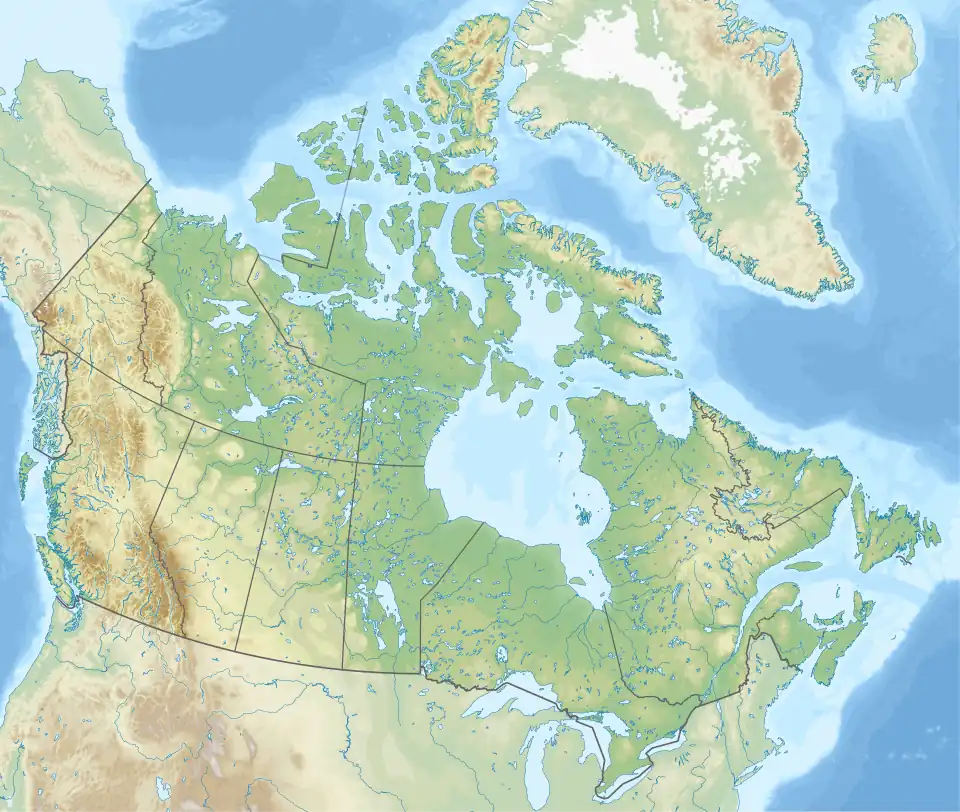
 Chinook Location of Chinook  Chinook Chinook (Canada) | |
| Coordinates: 51°26′58″N 110°55′31″W / 51.44944°N 110.92528°W | |
| Country | Canada |
| Province | Alberta |
| Region | Southern Alberta |
| Census division | 4 |
| Special area | Special Area No. 3 |
| Government | |
| • Type | Unincorporated |
| • Governing body | Special Areas Board |
| Population (1991)[1] | |
• Total | 38 |
| Time zone | UTC−07:00 (MST) |
| • Summer (DST) | UTC−06:00 (MDT) |
| Area codes | 403, 587, 825 |
Chinook is a hamlet in southern Alberta, Canada within Special Area No. 3.[2][3] It is located on Highway 9 approximately 119 kilometres (74 mi) northeast of Brooks.
Chinook was named after the Chinook wind, a "warm dry westerly wind from the Rocky Mountains."[4]
Demographics
| Year | Pop. | ±% |
|---|---|---|
| 1901 | — | |
| 1906 | — | |
| 1911 | — | |
| 1916 | 189 | — |
| 1921 | 241 | +27.5% |
| 1926 | 198 | −17.8% |
| 1931 | 176 | −11.1% |
| 1936 | 134 | −23.9% |
| 1941 | 142 | +6.0% |
| 1946 | 130 | −8.5% |
| 1951 | 116 | −10.8% |
| 1956 | 154 | +32.8% |
| 1961 | 114 | −26.0% |
| 1966 | — | |
| 1971 | — | |
| 1976 | — | |
| 1981 | — | |
| 1986 | — | |
| 1991 | 38 | — |
| Source: Statistics Canada[5][6][1] | ||
Chinook recorded a population of 38 in the 1991 Census of Population conducted by Statistics Canada.[1]
See also
- List of communities in Alberta
- List of former urban municipalities in Alberta
- List of hamlets in Alberta
References
- ^ a b c "91 Census: Unincorporated Places — Population and Dwelling Counts" (PDF). Statistics Canada. June 1993. Retrieved September 25, 2021.
- ^ "Specialized and Rural Municipalities and Their Communities" (PDF). Alberta Municipal Affairs. June 3, 2024. Retrieved June 14, 2024.
- ^ Statistics Canada (March 5, 2010). "Standard Geographical Classification 2006 – Special Area No. 3, geographical codes and localities, 2006". Archived from the original on July 6, 2011. Retrieved July 11, 2010.
- ^ "Place-names of Alberta / Pub. for the Geographic board by the Department of the interior". HathiTrust. Retrieved March 17, 2025.
- ^ "Table 5: Population of urban centres, 1916-1946, with guide to locations". 1946 Census of Alberta (PDF). Vol. Population. Ottawa: Dominion Bureau of Statistics. August 22, 1949. Retrieved August 11, 2022.
- ^ "Table 6: Population by census subdivisions, 1901–1961". 1961 Census of Canada (PDF). Series 1.1: Historical, 1901–1961. Vol. I: Population. Ottawa: Dominion Bureau of Statistics. March 8, 1963. Retrieved August 11, 2022.