New Dayton
New Dayton | |
|---|---|
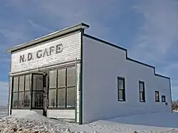 Repainted N.D. Cafe, 2008 | |
 New Dayton Location of New Dayton 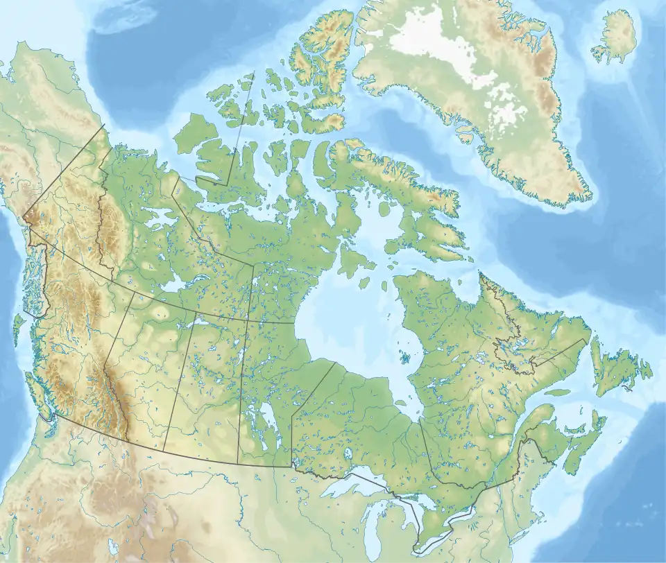 New Dayton New Dayton (Canada) | |
| Coordinates: 49°25′36″N 112°22′46″W / 49.42667°N 112.37944°W | |
| Country | Canada |
| Province | Alberta |
| Region | Southern Alberta |
| Census division | 2 |
| Municipal district | County of Warner No. 5 |
| Government | |
| • Type | Unincorporated |
| • Governing body | County of Warner No. 5 Council |
| • MP | Rachael Harder |
| • MLA | Grant Hunter |
| Elevation | 975 m (3,199 ft) |
| Population (1991)[1] | |
• Total | 47 |
| Time zone | UTC−07:00 (MST) |
| • Summer (DST) | UTC−06:00 (MDT) |
| Postal code span | |
| Area code | +1-403 |
| Highways | Highway 4 |
| Waterways | Tyrrell Lake |
New Dayton is a hamlet in southern Alberta, Canada within the County of Warner No. 5.[2] It is located on Highway 4 between the villages of Stirling and Warner, approximately 48 kilometres (30 mi) southeast of Lethbridge. New Dayton was named for their former home by settlers from Dayton, Ohio.[3]
Demographics
New Dayton recorded a population of 47 in the 1991 Census of Population conducted by Statistics Canada.[12]
Services and amenities
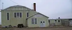
The hamlet has a ball diamond, a campground and a postal outlet.
See also
References
- ^ "91 Census: Unincorporated Places — Population and Dwelling Counts" (PDF). Statistics Canada. June 1993. Retrieved September 25, 2021.
- ^ "Specialized and Rural Municipalities and Their Communities" (PDF). Alberta Municipal Affairs. June 3, 2024. Retrieved June 14, 2024.
- ^ Marden, Ernest G.; Marden, Austin (2010). Community Place Names of Alberta. Lulu.com. p. 239. ISBN 978-1897472170. Retrieved September 1, 2017.
- ^ Ninth Census of Canada, 1951 (PDF). Vol. SP-7 (Population: Unincorporated villages and hamlets). Dominion Bureau of Statistics. March 31, 1954. Retrieved September 22, 2024.
- ^ Census of Canada, 1956 (PDF). Vol. Population of unincorporated villages and settlements. Dominion Bureau of Statistics. October 25, 1957. Retrieved September 23, 2024.
- ^ 1961 Census of Canada: Population (PDF). Series SP: Unincorporated Villages. Vol. Bulletin SP—4. Ottawa: Dominion Bureau of Statistics. April 18, 1963. Retrieved September 25, 2024.
- ^ Census of Canada 1966: Population (PDF). Special Bulletin: Unincorporated Places. Vol. Bulletin S–3. Ottawa: Dominion Bureau of Statistics. 1968. Retrieved September 25, 2024.
- ^ 1971 Census of Canada: Population (PDF). Special Bulletin: Unincorporated Settlements. Vol. Bulletin SP—1. Ottawa: Statistics Canada. 1973. Retrieved September 25, 2024.
- ^ "Geographical Identification and Population for Unincorporated Places of 25 persons and over, 1971 and 1976". 1976 Census of Canada (PDF). Supplementary Bulletins: Geographic and Demographic (Population of Unincorporated Places—Canada). Vol. Bulletin 8SG.1. Ottawa: Statistics Canada. 1978. Retrieved September 26, 2024.
- ^ 1981 Census of Canada (PDF). Place name reference list. Vol. Western provinces and the Territories. Ottawa: Statistics Canada. 1983. Retrieved September 26, 2024.
- ^ 1986 Census of Canada (PDF). Population. Vol. Unincorporated Places. Ottawa: Statistics Canada. 1988. Retrieved September 26, 2024.
- ^ a b 91 Census (PDF). Population and Dwelling Counts. Vol. Unincorporated Places. Ottawa: Statistics Canada. 1993. Retrieved September 26, 2024.
Places adjacent to New Dayton | ||||||||||||||||
|---|---|---|---|---|---|---|---|---|---|---|---|---|---|---|---|---|
| ||||||||||||||||