Crescent, Oregon
Crescent, Oregon | |
|---|---|
 Crescent  Crescent | |
| Coordinates: 43°27′18″N 121°42′04″W / 43.45500°N 121.70111°W | |
| Country | United States |
| State | Oregon |
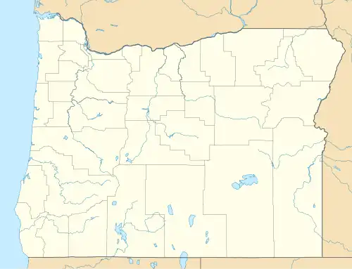
| County | Klamath |
| Area | |
• Total | 1.17 sq mi (3.04 km2) |
| • Land | 1.17 sq mi (3.02 km2) |
| • Water | 0.01 sq mi (0.02 km2) |
| Elevation | 4,462 ft (1,360 m) |
| Population | |
• Total | 412 |
| • Density | 353.34/sq mi (136.43/km2) |
| Time zone | UTC-8 (Pacific (PST)) |
| • Summer (DST) | UTC-7 (PDT) |
| ZIP code | 97733 |
| Area code | 541 |
| GNIS feature ID | 2805449[2] |
Crescent is an unincorporated community in Klamath County, Oregon, United States. Crescent is along U.S. Route 97 about 47 miles (76 km) south-southwest of Bend. Crescent has a post office with ZIP code 97733.[4]
Climate
This region experiences warm (but not hot) and dry summers, with no average monthly temperatures above 71.6 °F (22.0 °C). According to the Köppen Climate Classification system, Crescent has a warm-summer Mediterranean climate, abbreviated "Csb" on climate maps.[5]
Demographics
| Census | Pop. | Note | %± |
|---|---|---|---|
| 2020 | 412 | — | |
| U.S. Decennial Census[6][3] | |||
References
- ^ "ArcGIS REST Services Directory". United States Census Bureau. Retrieved October 12, 2022.
- ^ a b U.S. Geological Survey Geographic Names Information System: Crescent, Oregon
- ^ a b "Census Population API". United States Census Bureau. Retrieved October 12, 2022.
- ^ ZIP Code Lookup Archived 2011-06-15 at the Wayback Machine
- ^ Climate Summary for Crescent, Oregon
- ^ "Census of Population and Housing". Census.gov. Retrieved June 4, 2016.
Municipalities and communities of Klamath County, Oregon, United States | ||
|---|---|---|
| Cities |  | |
| CDPs | ||
| Other communities | ||
| Indian reservation | ||