Malone, Oregon
Malone, Oregon | |
|---|---|
 Malone  Malone | |
| Coordinates: 42°01′11″N 121°33′34″W / 42.01972°N 121.55944°W | |
| Country | United States |
| State | Oregon |
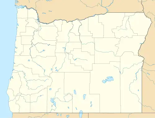
| County | Klamath |
| Elevation | 4,065 ft (1,239 m) |
| Time zone | UTC-8 (Pacific (PST)) |
| • Summer (DST) | UTC-7 (PDT) |
| ZIP code | 97633 |
| Area codes | 458 and 541 |
| GNIS feature ID | 1136510[1] |
Malone is an unincorporated community in Klamath County, Oregon, United States.[1] It is on Oregon Route 39 east of Merrill near the California border.
References
Municipalities and communities of Klamath County, Oregon, United States | ||
|---|---|---|
| Cities |  | |
| CDPs | ||
| Other communities | ||
| Indian reservation | ||