Cujubim
Cujubim | |
|---|---|
 Flag  Coat of arms | |
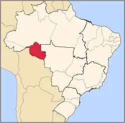
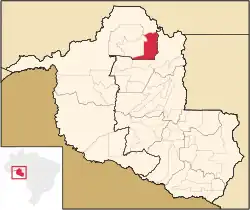 Location in Rondônia state | |
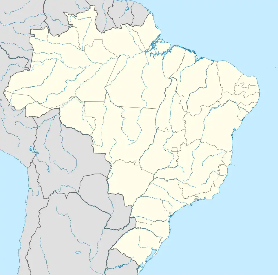 Cujubim Location in Brazil | |
| Coordinates: 9°21′46″S 62°35′7″W / 9.36278°S 62.58528°W | |
| Country | Brazil |
| Region | North |
| State | Rondônia |
| Area | |
• Total | 3,864 km2 (1,492 sq mi) |
| Population (2020 [1]) | |
• Total | 26,183 |
| • Density | 6.8/km2 (18/sq mi) |
| Time zone | UTC−4 (AMT) |
Cujubim is a municipality located in the Brazilian state of Rondônia. Its population was 26,183 (2020) and its area is 3,864 km2.[2]
The municipality contains 22% of the Angelim Extractive Reserve and 21% of the Ipê Extractive Reserve.[3][4] It contains the 660 hectares (1,600 acres) Tucano Sustainable Yield State Forest, created in 1996.[5]
See also
References
- ^ IBGE 2020
- ^ IBGE - [1]
- ^ RESEX Angelim (in Portuguese), ISA: Instituto Socioambiental, retrieved 2016-08-30
{{citation}}: CS1 maint: publisher location (link) - ^ RESEX Ipê (in Portuguese), ISA: Instituto Socioambiental, retrieved 2016-08-31
{{citation}}: CS1 maint: publisher location (link) - ^ FLORSU Tucano (in Portuguese), ISA: Instituto Socioambiental, retrieved 2016-10-13
{{citation}}: CS1 maint: publisher location (link)