Damvant
Damvant | |
|---|---|
 Coat of arms | |
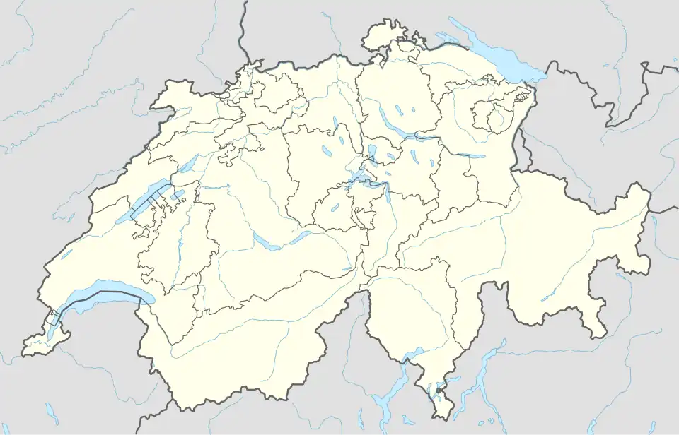
Location of Damvant | |
 Damvant 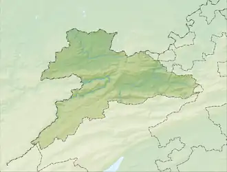 Damvant | |
| Coordinates: 47°22′N 06°54′E / 47.367°N 6.900°E | |
| Country | Switzerland |
| Canton | Jura |
| District | Porrentruy |
| Area | |
• Total | 505 km2 (195 sq mi) |
| Elevation | 609 m (1,998 ft) |
| Population (2000) | |
• Total | 129 |
| • Density | 0.26/km2 (0.66/sq mi) |
| Time zone | UTC+01:00 (Central European Time) |
| • Summer (DST) | UTC+02:00 (Central European Summer Time) |
| Postal code(s) | 2914 |
| SFOS number | 818 |
| ISO 3166 code | CH-JU |
| Surrounded by | Grandfontaine, Réclère, Vaufrey(F), Montjoie-le-Château(F), Villars-lès-Blamont(F) and Dannemarie(F) |
| Website | SFSO statistics |
Damvant (French pronunciation: [dɑ̃vɑ̃]) is a village and former municipality in the district of Porrentruy in the canton of Jura in Switzerland. Since 1 January 2009 it has been part of the new municipality Haute-Ajoie.
References
External links
Wikimedia Commons has media related to Damvant.
- Damvant in German, French and Italian in the online Historical Dictionary of Switzerland.