Dannemarie, Doubs
Dannemarie | |
|---|---|
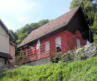 The town hall in Dannemarie | |
Location of Dannemarie | |
 Dannemarie  Dannemarie | |
| Coordinates: 47°23′28″N 6°53′52″E / 47.3911°N 6.8978°E | |
| Country | France |
| Region | Bourgogne-Franche-Comté |
| Department | Doubs |
| Arrondissement | Montbéliard |
| Canton | Maîche |
| Intercommunality | Pays de Montbéliard Agglomération |
| Government | |
| • Mayor (2020–2026) | Philippe Gasser[1] |
Area 1 | 2.25 km2 (0.87 sq mi) |
| Population (2022)[2] | 120 |
| • Density | 53/km2 (140/sq mi) |
| Time zone | UTC+01:00 (CET) |
| • Summer (DST) | UTC+02:00 (CEST) |
| INSEE/Postal code | 25194 /25310 |
| Elevation | 430–671 m (1,411–2,201 ft) |
| 1 French Land Register data, which excludes lakes, ponds, glaciers > 1 km2 (0.386 sq mi or 247 acres) and river estuaries. | |
Dannemarie (French pronunciation: [danmaʁi] ⓘ; unofficial also Dannemarie-lès-Glay) is a commune in the Doubs department in the Bourgogne-Franche-Comté region in eastern France.
Population
| Year | Pop. | ±% |
|---|---|---|
| 1962 | 69 | — |
| 1968 | 78 | +13.0% |
| 1975 | 86 | +10.3% |
| 1982 | 99 | +15.1% |
| 1990 | 129 | +30.3% |
| 1999 | 102 | −20.9% |
| 2008 | 105 | +2.9% |
| 2012 | 110 | +4.8% |
See also
References
- ^ "Répertoire national des élus: les maires" (in French). data.gouv.fr, Plateforme ouverte des données publiques françaises. 13 September 2022.
- ^ "Populations de référence 2022" (in French). The National Institute of Statistics and Economic Studies. 19 December 2024.
Wikimedia Commons has media related to Dannemarie (Doubs).