Dereli District
Dereli District | |
|---|---|
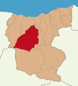 Map showing Dereli District in Giresun Province | |
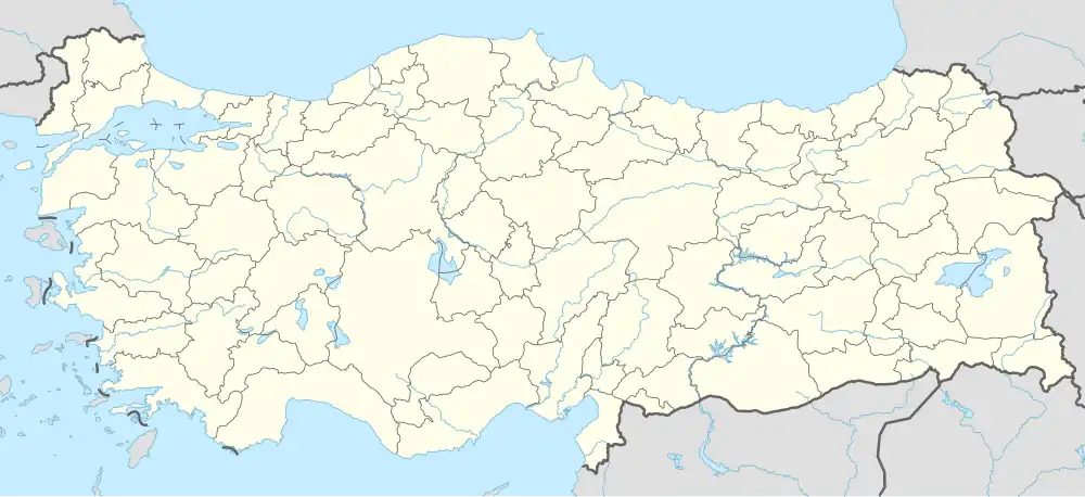 Dereli District Location in Turkey | |
| Coordinates: 40°44′N 38°26′E / 40.733°N 38.433°E | |
| Country | Turkey |
| Province | Giresun |
| Seat | Dereli |
| Government | |
| • Kaymakam | Okan Yenidünya |
Area | 849 km2 (328 sq mi) |
| Population (2022) | 18,696 |
| • Density | 22/km2 (57/sq mi) |
| Time zone | UTC+3 (TRT) |
| Website | www |
Dereli District is a district of the Giresun Province of Turkey. Its seat is the town of Dereli.[1] Its area is 849 km2,[2] and its population is 18,696 (2022).[3]
Composition
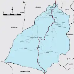
There are two municipalities in Dereli District:[1][4]
There are 34 villages in Dereli District:[5]
- Akkaya
- Aksu
- Alancık
- Çalca
- Çalköy
- Çamlı
- Çengelköy
- Eğriambar
- Güdül
- Güzelköy
- Heydere
- Hisarköy
- İçmesu
- Kızıltaş
- Konuklu
- Küçükahmet
- Küknarlı
- Kümbet
- Kurtulmuş
- Maden
- Meşeliyatak
- Pınarlar
- Sarıyakup
- Tamdere
- Taşlıca
- Tepeköy
- Tepeküknarlı
- Uzundere
- Yaylacık
- Yeşilkaya
- Yeşiltepe
- Yeşilvadi
- Yıldız
- Yüce
References
- ^ a b İlçe Belediyesi, Turkey Civil Administration Departments Inventory. Retrieved 1 March 2023.
- ^ "İl ve İlçe Yüz ölçümleri". General Directorate of Mapping. Retrieved 1 March 2023.
- ^ "Address-based population registration system (ADNKS) results dated 31 December 2022, Favorite Reports" (XLS). TÜİK. Retrieved 13 March 2023.
- ^ Belde Belediyesi, Turkey Civil Administration Departments Inventory. Retrieved 1 March 2023.
- ^ Köy, Turkey Civil Administration Departments Inventory. Retrieved 1 March 2023.
Dereli District in Giresun Province of Turkey | |||||||||||||||||||||||||||
|---|---|---|---|---|---|---|---|---|---|---|---|---|---|---|---|---|---|---|---|---|---|---|---|---|---|---|---|
| Districts |  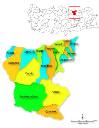 | ||||||||||||||||||||||||||
|
Metropolitan municipalities are bolded. | |||||||||||||||||||||||||||
| Municipalities | |
|---|---|
| Villages |
|