Donne River
| Donne River | |
|---|---|
 Donne River in 2017 | |
Route of the Donne River | |
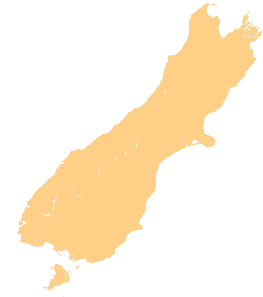
 Mouth of the Donne River  Donne River (South Island) .png) Donne River (New Zealand) | |
| Location | |
| Country | New Zealand |
| Region | Southland |
| District | Southland |
| Physical characteristics | |
| Source | |
| • location | Taoka Icefall |
| • coordinates | 44°40′37″S 168°02′22″E / 44.677°S 168.0394°E |
| • elevation | 620 m (2,030 ft) |
| Mouth | |
• location | Cleddau River |
• coordinates | 44°42′09″S 167°58′06″E / 44.70237°S 167.96834°E |
• elevation | 61 m (200 ft) |
| Length | 4.5 km (2.8 mi) |
| Basin features | |
| Progression | Donne River → Cleddau River → Milford Sound → Tasman Sea |
The Donne River is a river in the Southland Region of New Zealand. It arises in the Darran Mountains near Karetai Peak and flows south-west to join the Cleddau River. State Highway 94 crosses the Donne just before it reaches the Cleddau.[1] The river was named by W. G. Grave in 1907 after Thomas Edward Donne, the General Manager of the Tourism Department.[2]
See also
References
- Land Information New Zealand - Search for Place Names