Wilmot River
| Wilmot River | |
|---|---|
Route of Wilmot River | |
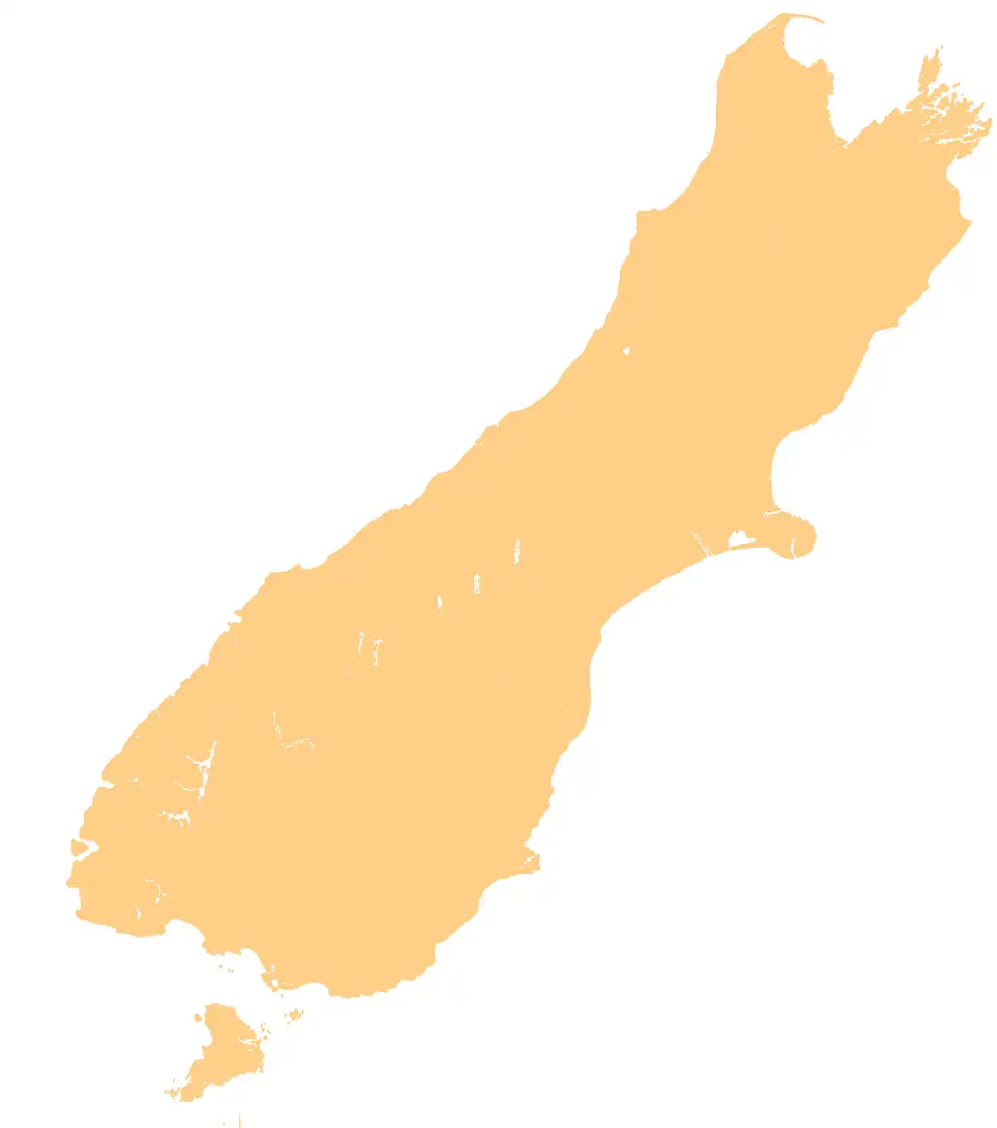
 Mouth of Wilmot River  Wilmot River (South Island) .png) Wilmot River (New Zealand) | |
| Location | |
| Country | New Zealand |
| Region | Southland |
| District | Southland |
| Physical characteristics | |
| Source | |
| • location | Skippers Range |
| • coordinates | 44°25′37″S 168°09′18″E / 44.427°S 168.155°E |
| Mouth | |
• location | Lake Wilmot |
• coordinates | 44°22′26″S 168°12′33″E / 44.3739°S 168.2093°E |
• elevation | 30 metres (98 ft) |
| Length | 13 kilometres (8.1 mi) |
| Basin features | |
| Progression | Wilmot River → Lake Wilmot → Pyke River → Hollyford River / Whakatipu Kā Tuka → Tasman Sea |
| River system | Hollyford River / Whakatipu Kā Tuka |
The Wilmot River is a river of northern Fiordland, New Zealand. It rises in the Skippers Range and flows into Lake Wilmot.[1]
See also
References
- ^ "Place name detail: Wilmot River". New Zealand Gazetteer. Land Information New Zealand. Retrieved 18 March 2018.