Dorset (CDP), Vermont
Dorset, Vermont | |
|---|---|
 Dorset  Dorset | |
| Coordinates: 43°15′18″N 73°5′56″W / 43.25500°N 73.09889°W | |
| Country | United States |
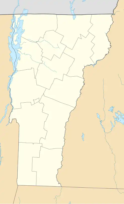
| State | Vermont |
| County | Bennington |
| Town | Dorset |
| Area | |
• Total | 2.10 sq mi (5.44 km2) |
| • Land | 2.08 sq mi (5.39 km2) |
| • Water | 0.02 sq mi (0.05 km2) |
| Elevation | 960 ft (290 m) |
| Population | 360 |
| Time zone | UTC-5 (Eastern (EST)) |
| • Summer (DST) | UTC-4 (EDT) |
| ZIP Code | 05251 |
| Area code | 802 |
| FIPS code | 50-17650 |
| GNIS feature ID | 2586627[3] |
Dorset is the primary settlement and a census-designated place (CDP) in the town of Dorset, Bennington County, Vermont, United States. As of the 2020 census, the CDP had a population of 360,[2] out of 2,133 in the entire town.
It is in northern Bennington County, in the western part of the town of Dorset, in a valley between Spruce Peak to the west, Mount Aeolus to the southeast, and Dorset Mountain to the northeast. Vermont Route 30 passes through the center of the village, leading southeast 6 miles (10 km) to Manchester Center and northwest 8 miles (13 km) to Pawlet. The Mettawee River runs through the northern part of the CDP, flowing northwest to the southern end of Lake Champlain at Whitehall, New York.
References
- ^ "2020 U.S. Gazetteer Files – Vermont". United States Census Bureau. Retrieved October 1, 2021.
- ^ a b "Dorset CDP, Vermont: 2020 DEC Redistricting Data (PL 94-171)". U.S. Census Bureau. Retrieved October 1, 2021.
- ^ "Dorset Census Designated Place". Geographic Names Information System. United States Geological Survey, United States Department of the Interior.
Municipalities and communities of Bennington County, Vermont, United States | ||
|---|---|---|
| Towns | 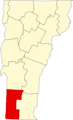 | |
| Villages | ||
| CDPs | ||
| Other communities | ||
| Footnotes | § Disincorporated ‡ This populated place also has portions in an adjacent county or counties | |