North Pownal, Vermont
North Pownal, Vermont | |
|---|---|
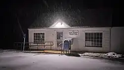 Post office | |
 North Pownal  North Pownal | |
| Coordinates: 42°47′51″N 73°15′52″W / 42.79750°N 73.26444°W | |
| Country | United States |
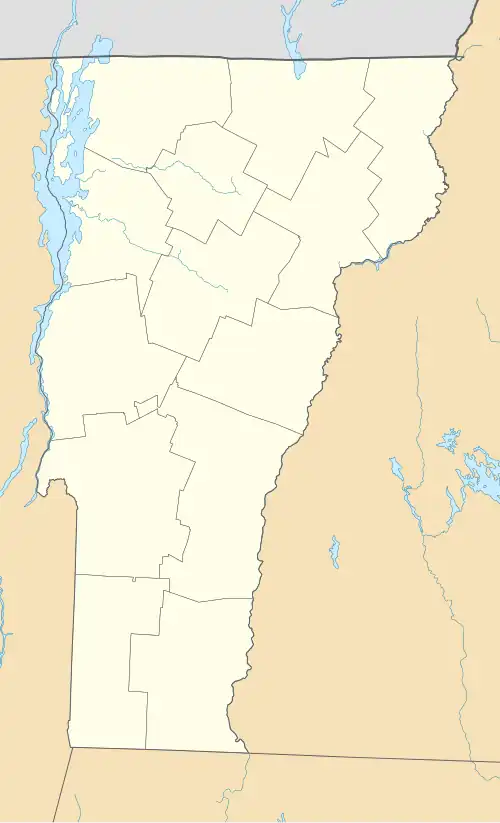
| State | Vermont |
| County | Bennington |
| Town | Pownal |
| Area | |
• Total | 1.21 sq mi (3.14 km2) |
| • Land | 1.19 sq mi (3.08 km2) |
| • Water | 0.02 sq mi (0.05 km2) |
| Elevation | 510 ft (160 m) |
| Time zone | UTC-5 (Eastern (EST)) |
| • Summer (DST) | UTC-4 (EDT) |
| ZIP Code | 05260 |
| Area code | 802 |
| FIPS code | 50-51325 |
| GNIS feature ID | 2807123[2] |
North Pownal is an unincorporated community and census-designated place (CDP) in the town of Pownal, Bennington County, Vermont, United States. It was first listed as a CDP prior to the 2020 census.
It is in southwestern Bennington County, in the western part of the town of Pownal, 1 mile (1.6 km) east of the Vermont–New York border. The Hoosic River, a west-flowing tributary of the Hudson River, flows through the center of the community. Vermont Route 346 is the main road through the village, leading southeast 3 miles (5 km) to U.S. Route 7 at Pownal village. To the northwest, VT 346/NY 346 leads 4 miles (6 km) to North Petersburg, New York.
References
- ^ "2020 U.S. Gazetteer Files – Vermont". United States Census Bureau. Retrieved October 4, 2021.
- ^ "North Pownal Census Designated Place". Geographic Names Information System. United States Geological Survey, United States Department of the Interior.
Municipalities and communities of Bennington County, Vermont, United States | ||
|---|---|---|
| Towns | 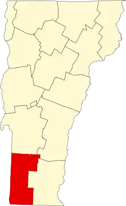 | |
| Villages | ||
| CDPs | ||
| Other communities | ||
| Footnotes | § Disincorporated ‡ This populated place also has portions in an adjacent county or counties | |