East Stone Gap, Virginia
East Stone Gap, Virginia | |
|---|---|
 East Stone Gap Road (SR 613) | |
 East Stone Gap, Virginia  East Stone Gap, Virginia | |
| Coordinates: 36°52′00″N 82°44′33″W / 36.86667°N 82.74250°W | |
| Country | United States |
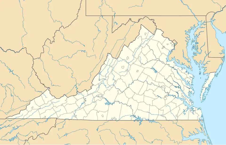
| State | Virginia |
| County | Wise |
| Elevation | 1,539 ft (469 m) |
| Population (2020) | |
• Total | 537 |
| Time zone | UTC-5 (Eastern (EST)) |
| • Summer (DST) | UTC-4 (EDT) |
| ZIP code | 24246 |
| Area code | 276 |
| GNIS feature ID | 1494214[1] |
East Stone Gap is an unincorporated community and census-designated place in Wise County, Virginia, United States. East Stone Gap is an eastern suburb of Big Stone Gap; U.S. Route 23 separates the two settlements. It was first listed as a CDP in the 2020 census, with a population of 537.[2] East Stone Gap has a post office, with ZIP code 24246.[3][4]
Demographics
East Stone Gap first appeared as a census designated place in the 2020 U.S. Census.[5]
References
- ^ "East Stone Gap". Geographic Names Information System. United States Geological Survey, United States Department of the Interior.
- ^ "East Stone Gap, Virginia". United States Census Bureau. Retrieved September 16, 2022.
- ^ United States Postal Service (2012). "USPS - Look Up a ZIP Code". Retrieved February 15, 2012.
- ^ "Postmaster Finder - Post Offices by ZIP Code". United States Postal Service. Archived from the original on October 17, 2020. Retrieved December 22, 2012.
- ^ "2020 Geography Changes". United States Census Bureau.
Municipalities and communities of Wise County, Virginia, United States | ||
|---|---|---|
| Towns |  | |
| CDPs | ||
| Other communities | ||
| Footnotes | ‡This populated place also has portions in an adjacent county or counties | |