Tacoma, Virginia
Tacoma, Virginia | |
|---|---|
 Tacoma, Virginia  Tacoma, Virginia | |
| Coordinates: 36°56′16″N 82°32′3″W / 36.93778°N 82.53417°W | |
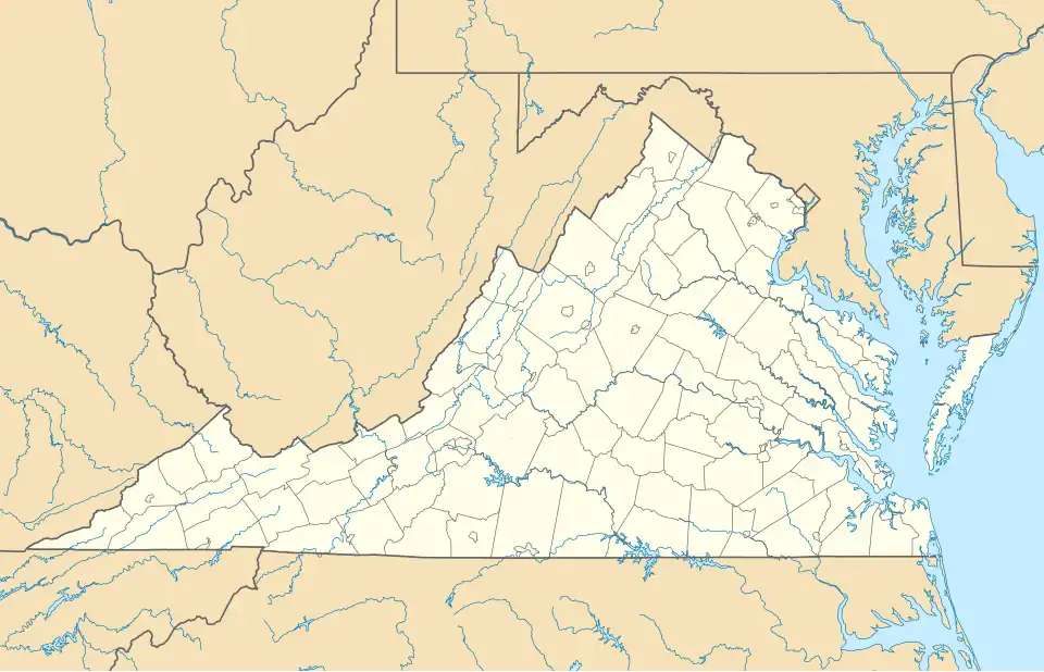
| Country | United States |
| State | Virginia |
| County | Wise |
| Area | |
• Total | 0.48 sq mi (1.2 km2) |
| • Land | 0.469 sq mi (1.21 km2) |
| • Water | 0.011 sq mi (0.03 km2) |
| Elevation | 2,008 ft (612 m) |
| Population (2020) | |
• Total | 204 |
| • Density | 425/sq mi (164/km2) |
| Time zone | UTC−5 (Eastern (EST)) |
| • Summer (DST) | UTC−4 (EDT) |
| GNIS feature ID | 1487766[1] |
Tacoma is a Census-designated place and coal town located in Wise County, Virginia, United States with a population of 204 at the 2020 census. It is located within the town of Coeburn.
Demographics
Tacoma first appeared as a census designated place in the 2020 United States census.[2]
References
- ^ U.S. Geological Survey Geographic Names Information System: Tacoma, Virginia
- ^ "2020 Geography Changes". United States Census Bureau.
Municipalities and communities of Wise County, Virginia, United States | ||
|---|---|---|
| Towns |  | |
| CDPs | ||
| Other communities | ||
| Footnotes | ‡This populated place also has portions in an adjacent county or counties | |