Fagus, Missouri
Fagus, Missouri | |
|---|---|
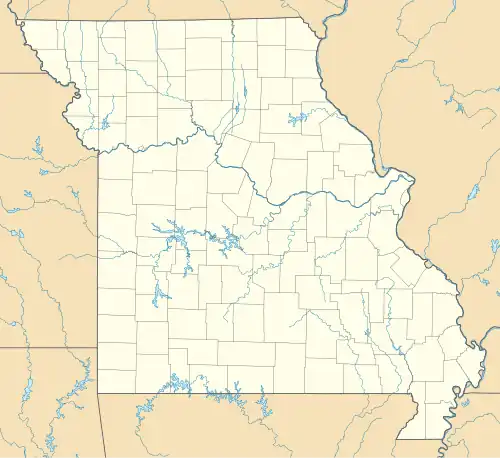 Fagus, Missouri Position in Missouri | |
| Coordinates: 36°30′40″N 90°16′01″W / 36.51111°N 90.26694°W | |
| Country | United States |
| State | Missouri |
| County | Butler |
| Elevation | 308 ft (94 m) |
| Time zone | UTC-6 (Central (CST)) |
| • Summer (DST) | UTC-5 (CDT) |
| Zip code | 63938 |
| GNIS feature ID | 735609[1] |
Fagus is an unincorporated community in southeastern Butler County, Missouri, United States.
History
A post office called Fagus was established in 1913 and remained in operation until 1973.[2] The community was founded by lumberman William N. Barron and named after the Latin word for "beech tree".[3]
The Big Inch had a station in Fagus.
Geography
Fagus is located on Missouri Route 51, approximately 18 miles southeast of Poplar Bluff and one mile north of the Arkansas state line.[4]
References
- ^ a b U.S. Geological Survey Geographic Names Information System: Fagus, Missouri
- ^ "Post Offices". Jim Forte Postal History. Archived from the original on March 6, 2016. Retrieved September 6, 2016.
- ^ "Butler County Place Names, 1928–1945 (archived)". The State Historical Society of Missouri. Archived from the original on June 24, 2016. Retrieved September 6, 2016.
{{cite web}}: CS1 maint: bot: original URL status unknown (link) - ^ Missouri Atlas & Gazetteer, DeLorme, 1998, First edition, p. 67, ISBN 0-89933-224-2
Municipalities and communities of Butler County, Missouri, United States | ||
|---|---|---|
| Cities | 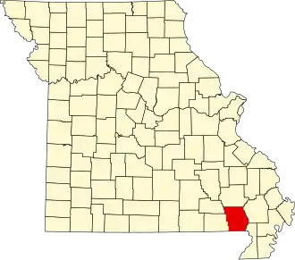 | |
| Townships | ||
| CDPs | ||
| Other communities | ||
| Ghost town | ||
| Footnotes | ‡This populated place also has portions in an adjacent county or counties | |