Fontenille-Saint-Martin-d'Entraigues
Fontenille-Saint-Martin-d'Entraigues | |
|---|---|
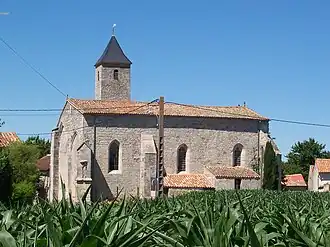 The church of Saint-Martin-d'Entraigues | |
Location of Fontenille-Saint-Martin-d'Entraigues | |
 Fontenille-Saint-Martin-d'Entraigues  Fontenille-Saint-Martin-d'Entraigues | |
| Coordinates: 46°07′28″N 0°07′50″W / 46.1244°N 0.1306°W | |
| Country | France |
| Region | Nouvelle-Aquitaine |
| Department | Deux-Sèvres |
| Arrondissement | Niort |
| Canton | Melle |
| Government | |
| • Mayor (2020–2026) | Gaëtan Delezay[1] |
Area 1 | 15.11 km2 (5.83 sq mi) |
| Population (2022)[2] | 534 |
| • Density | 35/km2 (92/sq mi) |
| Time zone | UTC+01:00 (CET) |
| • Summer (DST) | UTC+02:00 (CEST) |
| INSEE/Postal code | 79122 /79110 |
| Elevation | 66–126 m (217–413 ft) (avg. 74 m or 243 ft) |
| 1 French Land Register data, which excludes lakes, ponds, glaciers > 1 km2 (0.386 sq mi or 247 acres) and river estuaries. | |
Fontenille-Saint-Martin-d'Entraigues is a commune in the Deux-Sèvres department in the Nouvelle-Aquitaine region in western France. It was created in 1973 by the merger of two former communes: Fontenille and Saint-Martin-d'Entraigues.[3]
Geography
The main hamlets in the commune are located on the banks of the river Boutonne, which flows southwestward through the commune.
See also
References
- ^ "Répertoire national des élus: les maires". data.gouv.fr, Plateforme ouverte des données publiques françaises (in French). 2 December 2020.
- ^ "Populations de référence 2022" (in French). The National Institute of Statistics and Economic Studies. 19 December 2024.
- ^ Modifications aux circonscriptions administratives territoriales (fusion de communes), Journal officiel de la République française n° 0009, 11 January 1973, p. 502.
Wikimedia Commons has media related to Fontenille-Saint-Martin-d'Entraigues.