Gomk
39°37′46″N 45°34′09″E / 39.62944°N 45.56917°E
Gomk
Գոմք | |
|---|---|
 | |
 Gomk 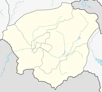 Gomk | |
| Coordinates: 39°37′46″N 45°34′09″E / 39.62944°N 45.56917°E | |
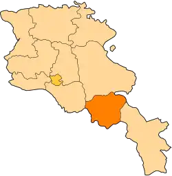
| Country | Armenia |
| Province | Vayots Dzor |
| Municipality | Vayk |
| Population | |
• Total | 162 |
| Time zone | UTC+4 (AMT) |
| Gomk at GEOnet Names Server | |
Gomk (Armenian: Գոմք) is a village in the Vayk Municipality of the Vayots Dzor Province of Armenia.
History
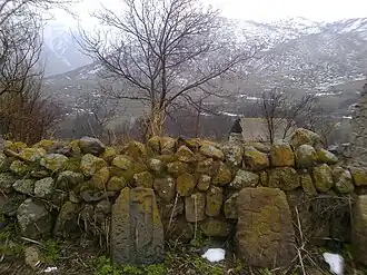
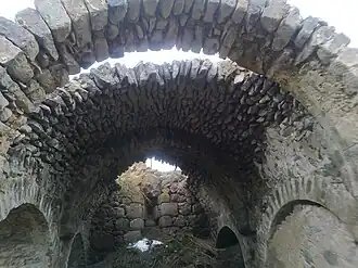
In the village is a 17th-century church and an important shrine/khachkar from 1263. The inscription upon it reads:
"In 712 of the Armenian era, under the pious Prince Prosh, Mkhitar, Arevik, son of Khoidan, set up this cross and chapel. In the village there was not even a church. We have built this church with our own means with much trouble, for us and our parents. You who read, remember us in your prayers."
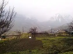
Gallery
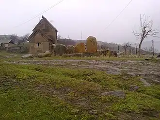
-
 Scenery around Gomk
 -
 Khachkar chapel in Gomk
 -
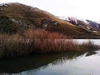 Lake near Gomk
 -
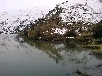 Lake near Gomk
 -
 Church
References
External links
Wikimedia Commons has media related to Gomk.
- Report of the results of the 2001 Armenian Census, Statistical Committee of Armenia
- Kiesling, Brady (2005), Rediscovering Armenia: Guide, Yerevan, Armenia: Matit Graphic Design Studio
- Kiesling, Brady (June 2000). Rediscovering Armenia: An Archaeological/Touristic Gazetteer and Map Set for the Historical Monuments of Armenia (PDF). Archived (PDF) from the original on 6 November 2021.