Hartfield, Virginia
Hartfield, Virginia | |
|---|---|
Unincorporated community | |
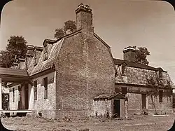 Wilton-on-the-Piankatank, Middlesex County, Virginia, by Frances Benjamin Johnston, 1935 | |
 Hartfield, Virginia  Hartfield, Virginia | |
| Coordinates: 37°33′04″N 76°26′46″W / 37.55111°N 76.44611°W | |
| Country | United States |
| State | Virginia |
| County | Middlesex |
| Elevation | 79 ft (24 m) |
| Time zone | UTC-5 (Eastern (EST)) |
| • Summer (DST) | UTC-4 (EDT) |
| ZIP code | 23071 |
| Area code | 804 |
| GNIS feature ID | 1499528[1] |
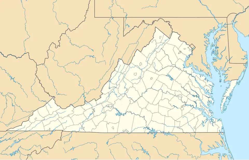
Hartfield is an unincorporated community in Middlesex County, Virginia, United States. Hartfield is located at the southern junction of Virginia State Route 3 and Virginia State Route 33, 9 miles (14 km) east-southeast of Saluda. Hartfield has a post office with ZIP code 23071, which opened on September 5, 1889.[2][3]
William Churchill, patriarch of one of the first Virginia's colonial families, built Wilton House in Hartfield in 1763. Wilton House is a T-shaped Georgian plantation house near the Piankatank River in the Tidewater region on Virginia's Middle Peninsula. It is now open as a guest house.
References
Wikimedia Commons has media related to Hartfield, Virginia.
- ^ "Hartfield". Geographic Names Information System. United States Geological Survey, United States Department of the Interior.
- ^ United States Postal Service (2012). "USPS - Look Up a ZIP Code". Retrieved February 15, 2012.
- ^ "Postmaster Finder - Post Offices by ZIP Code". United States Postal Service. Archived from the original on October 17, 2020. Retrieved August 20, 2012.
Municipalities and communities of Middlesex County, Virginia, United States | ||
|---|---|---|
| Town |  | |
| CDPs | ||
| Unincorporated communities | ||
| Footnotes | ‡This populated place also has portions in an adjacent county or counties | |