Syringa, Virginia
Syringa, Virginia | |
|---|---|
Unincorporated community | |
 Syringa, Virginia  Syringa, Virginia | |
| Coordinates: 37°34′44″N 76°27′24″W / 37.57889°N 76.45667°W | |
| Country | United States |
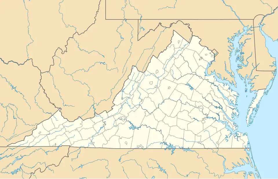
| State | Virginia |
| County | Middlesex |
| Elevation | 56 ft (17 m) |
| Time zone | UTC−5 (Eastern (EST)) |
| • Summer (DST) | UTC−4 (EDT) |
| ZIP code | 23169[1] |
| Area code | 804 |
| GNIS feature ID | 1475417[2] |
Syringa is an unincorporated community in Middlesex County, Virginia, United States. Syringa is 7.8 miles (12.6 km) east-southeast of Saluda. Syringa had a post office, which closed on September 3, 1988.[3]
Education
- Syringa High School closed in 1950 with the creation of Middlesex High School. The auditorium of the school, built circa 1936, is now the Freeshade Community Center.
References
- ^ United States Postal Service (2012). "USPS - Look Up a ZIP Code". Retrieved February 15, 2012.
- ^ "Syringa". Geographic Names Information System. United States Geological Survey, United States Department of the Interior.
- ^ "Postmaster Finder - Post Offices by ZIP Code". United States Postal Service. Retrieved August 21, 2012.
Municipalities and communities of Middlesex County, Virginia, United States | ||
|---|---|---|
| Town |  | |
| CDPs | ||
| Unincorporated communities | ||
| Footnotes | ‡This populated place also has portions in an adjacent county or counties | |