Harveng
Harveng
Harvent (Walloon) | |
|---|---|
 | |
Location of Harveng | |
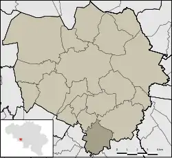 Location of Harveng in Mons | |
 Harveng 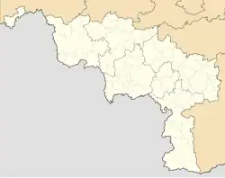 Harveng | |
| Coordinates: 50°23′42″N 3°59′13″E / 50.39500°N 3.98694°E | |
| Country | |
| Community | |
| Region | |
| Province | |
| Arrondissement | Mons |
| Municipality | Mons |
| Area | |
• Total | 6.68 km2 (2.58 sq mi) |
| Population (2020-01-01) | |
• Total | 473 |
| • Density | 71/km2 (180/sq mi) |
| Postal codes | 7022 |
| Area codes | 065 |
Harveng (French pronunciation: [aʁvɑ̃]; Walloon: Harvent) is a sub-municipality of the city of Mons located in the province of Hainaut, Wallonia, Belgium. It was a separate municipality until 1977. On 1 January 1977, it was merged into Mons.[1]
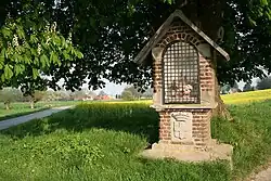
Gallery
-
 Church Saint-Martin (1780).
 -
 Castle of Marchienne and park (18th/19th centuries)
References
Wikimedia Commons has media related to Harveng.