Hernialde
Hernialde | |
|---|---|
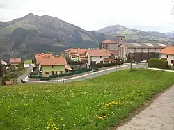 View of Hernialde | |
 Coat of arms | |
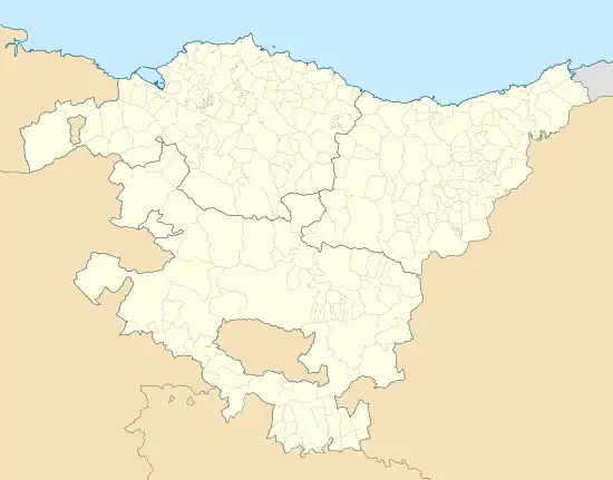 Hernialde Location of Hernialde within the Basque Country 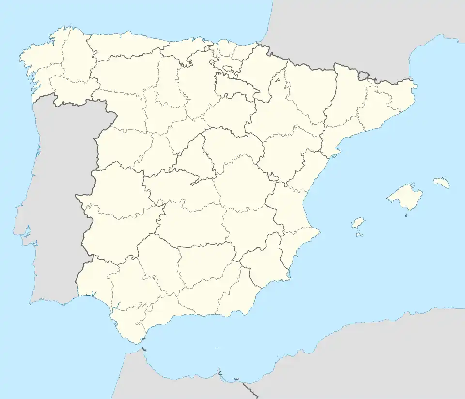 Hernialde Location of Hernialde within Spain | |
| Coordinates: 43°9′16″N 2°5′7″W / 43.15444°N 2.08528°W | |
| Country | |
| Autonomous community | |
| Province | Gipuzkoa |
| Comarca | Tolosaldea |
| Area | |
• Total | 4 km2 (2 sq mi) |
| Elevation | 299 m (981 ft) |
| Population (2018)[1] | |
• Total | 313 |
| • Density | 78/km2 (200/sq mi) |
| Time zone | UTC+1 (CET) |
| • Summer (DST) | UTC+2 (CEST) |
| Postal code | 20494 |
Hernialde is a town located in the province of Gipuzkoa, in the autonomous community of Basque Country, northern Spain.
References
- ^ Municipal Register of Spain 2018. National Statistics Institute.
External links
- Official Website Information available in Spanish and Basque.
- HERNIALDE in the Bernardo Estornés Lasa - Auñamendi Encyclopedia (Euskomedia Fundazioa) Information available in Spanish