Irura
Irura | |
|---|---|
 View of Irura | |
 Coat of arms | |
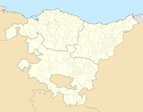 Irura Location of Irura within the Basque Country | |
| Coordinates: 43°10′03″N 2°04′02″W / 43.16750°N 2.06722°W | |
| Country | |
| Autonomous community | |
| Province | Gipuzkoa |
| Eskualdea | Tolosaldea |
| Government | |
| • Mayor | Ainhoa Ugalde Gorostiaga |
| Area | |
• Total | 2.99 km2 (1.15 sq mi) |
| Elevation | 65 m (213 ft) |
| Population (2018)[1] | |
• Total | 1,862 |
| • Density | 620/km2 (1,600/sq mi) |
| Time zone | UTC+1 (CET) |
| • Summer (DST) | UTC+2 (CEST) |
| Postal code | 20271 |
| Website | www.irura.eus |
Irura is a town located in the province of Gipuzkoa, in the autonomous community of Basque Country, northern Spain.
References
- ^ Municipal Register of Spain 2018. National Statistics Institute.
External links
- Official Website Information available in Spanish and Basque.
- IRURA in the Bernardo Estornés Lasa - Auñamendi Encyclopedia (Euskomedia Fundazioa) Information available in Spanish