Holyně
Holyně | |
|---|---|
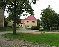 Pod Lípou Square | |
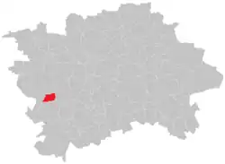 Location of Holyně in Prague | |
| Coordinates: 50°1′43″N 14°21′16″E / 50.02861°N 14.35444°E | |
| Country | Czech Republic |
| Region | Prague |
| District | Prague-Slivenec |
| Area | |
• Total | 1.93 km2 (0.75 sq mi) |
| Population (2021)[1] | |
• Total | 463 |
| • Density | 240/km2 (620/sq mi) |
| Time zone | UTC+1 (CET) |
| • Summer (DST) | UTC+2 (CEST) |
Holyně is a village and cadastral area in Prague. It is located in the western part of the city. As of 2021, there were 463 inhabitants living in Holyně.[1]
It is a part of municipal district (městská část) of Praha-Slivenec.
Demographics
|
| |||||||||||||||||||||||||||||||||||||||||||||||||||
| Source: Censuses[2][1] | ||||||||||||||||||||||||||||||||||||||||||||||||||||
Neighboring cadastral areas
Gallery
-
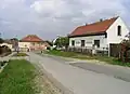 U Náhonu street
 -
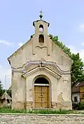 Chapel
 -
 Bus stop
References
Wikimedia Commons has media related to Holyně.
- ^ a b c "Results of the 2021 Census - Open data". Public Database (in Czech). Czech Statistical Office. 2021-03-27.
- ^ "Historický lexikon obcí České republiky 1869–2011 – Praha" (PDF) (in Czech). Czech Statistical Office. 2015-12-21.