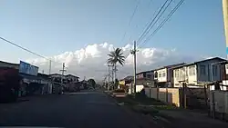
Hopong
Hopong | |
|---|---|
Town | |
 | |
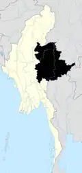
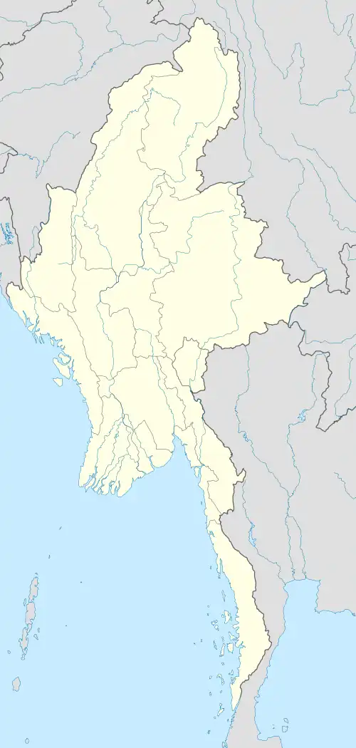 Hopong Location in Burma | |
| Coordinates: 20°47′0″N 97°11′0″E / 20.78333°N 97.18333°E | |
| Country | Myanmar |
| State | |
| Districts | Pa-O Self-Administered Zone |
| Township | Hopong Township |
| Elevation | 3,541 ft (1,079 m) |
| Population (2005) | |
| • Religions | Buddhism |
| Time zone | UTC+6.30 (MMT) |
Look up ဝေင်ꩻဟိုပုံꩻ in Wiktionary, the free dictionary.
Hopong (Burmese: ဟိုပုန်းမြို့, Pa'o Karen: ဝေင်ꩻဟိုပုံꩻⓘ) is a town in the Shan State of eastern Myanmar (Burma). Hopong is the capital of Pa'O Self-Administered Zone. It is located in Hopong Township.
Hopong has some locally known places, like Htam Sam Cave and Mway Taw Pagoda.