Indian Pine, Arizona
Indian Pine, Arizona | |
|---|---|
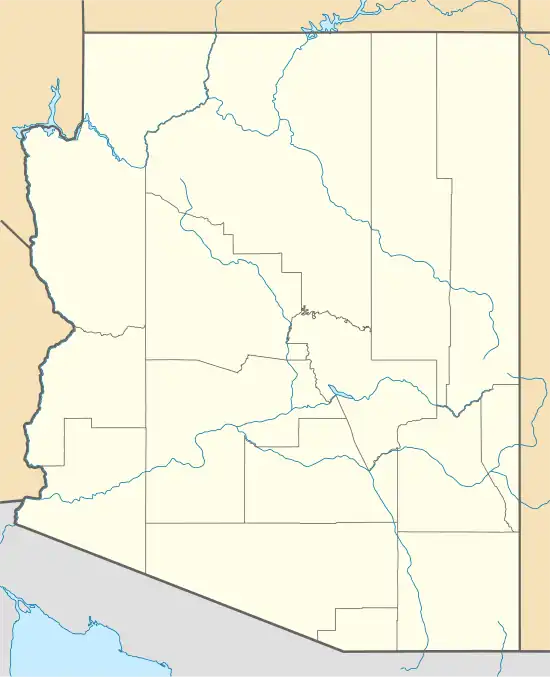 Indian Pine Location within the state of Arizona  Indian Pine Indian Pine (the United States) | |
| Coordinates: 34°04′48″N 109°54′19″W / 34.08000°N 109.90528°W | |
| Country | United States |
| State | Arizona |
| County | Navajo |
| Elevation | 7,176 ft (2,187 m) |
| Time zone | UTC-7 (Mountain (MST)) |
| • Summer (DST) | UTC-7 (MST) |
| Area code | 928 |
| FIPS code | 04-35150 |
| GNIS feature ID | 30351[1] |
Indian Pine is a populated place situated in Navajo County, Arizona, United States.[2]
References
- ^ a b U.S. Geological Survey Geographic Names Information System: Indian Pine, Arizona
- ^ "Indian Pine (in Navajo County, AZ) Populated Place Profile". AZ Hometown Locator. Retrieved November 28, 2016.
