Ingali
Ingali
desai | |
|---|---|
village | |
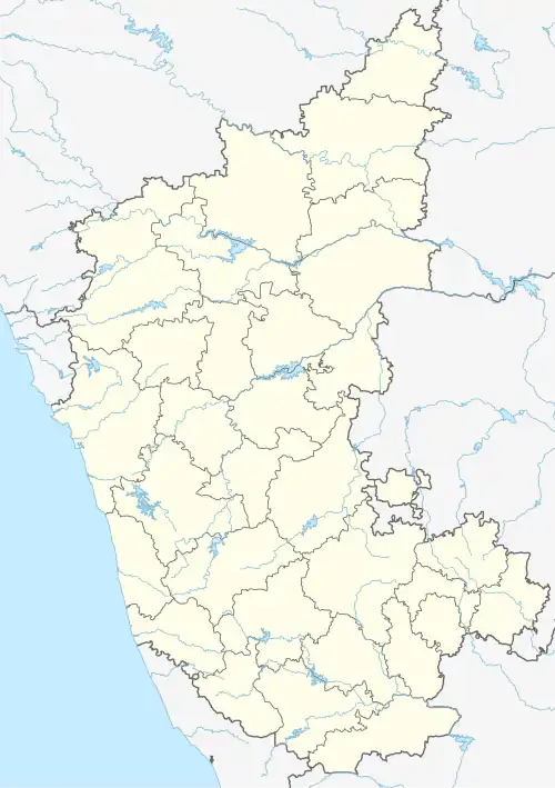 Ingali Location in Karnataka, India  Ingali Ingali (India) | |
| Coordinates: 16°25′N 74°35′E / 16.42°N 74.58°E | |
| Country | |
| State | Karnataka |
| District | Belgaum |
| Talukas | Chikodi |
| Population (2010) | |
• Total | 10,558 |
| Languages | |
| • Official | Kannada |
| Time zone | UTC+5:30 (IST) |
| Telephone code | 08338 |
| Vehicle registration | KA23 |
| Nearest city | Chikkodi (31 km), Miraj (33 km), Sangli (50 km) |
| Lok Sabha constituency | Bangalore |
Ingali is a village in the southern state of Karnataka, India.[1][2] It is located in the Chikodi taluk of Belgaum district in Karnataka.
Demographics
As of 2001 India census, Ingali had a population of 7920 with 4140 males and 3780 females.[1]
See also
References
- ^ a b Village code= 7000 "Census of India : Villages with population 5000 & above". Registrar General & Census Commissioner, India. Archived from the original on 11 February 2008. Retrieved 18 December 2008.
- ^ "Yahoomaps India : Ingali, Belgaum, Karnataka". Archived from the original on 18 December 2008. Retrieved 18 December 2008.
External links