Iyen Island
Nickname: Ian Island | |
|---|---|
 Iyen Island | |
| Geography | |
| Location | Oceania |
| Coordinates | 11°30′S 153°26′E / 11.500°S 153.433°E[1] |
| Archipelago | Louisiade Archipelago |
| Adjacent to | Solomon Sea |
| Total islands | 1 |
| Major islands |
|
| Area | 0.86 km2 (0.33 sq mi) |
| Highest elevation | 54 m (177 ft) |
| Highest point | Mount Iyen |
| Administration | |
| Province | |
| District | Samarai-Murua District |
| LLG[2] | Yaleyamba Rural Local Level Government Area |
| Island Group | Vanatinai Islands |
| Largest settlement | Iyen (pop. ~95) |
| Demographics | |
| Population | 102 (2014) |
| Pop. density | 119/km2 (308/sq mi) |
| Ethnic groups | Papauans, Austronesians, Melanesians. |
| Additional information | |
| Time zone | |
| ISO code | PG-MBA |
| Official website | www |
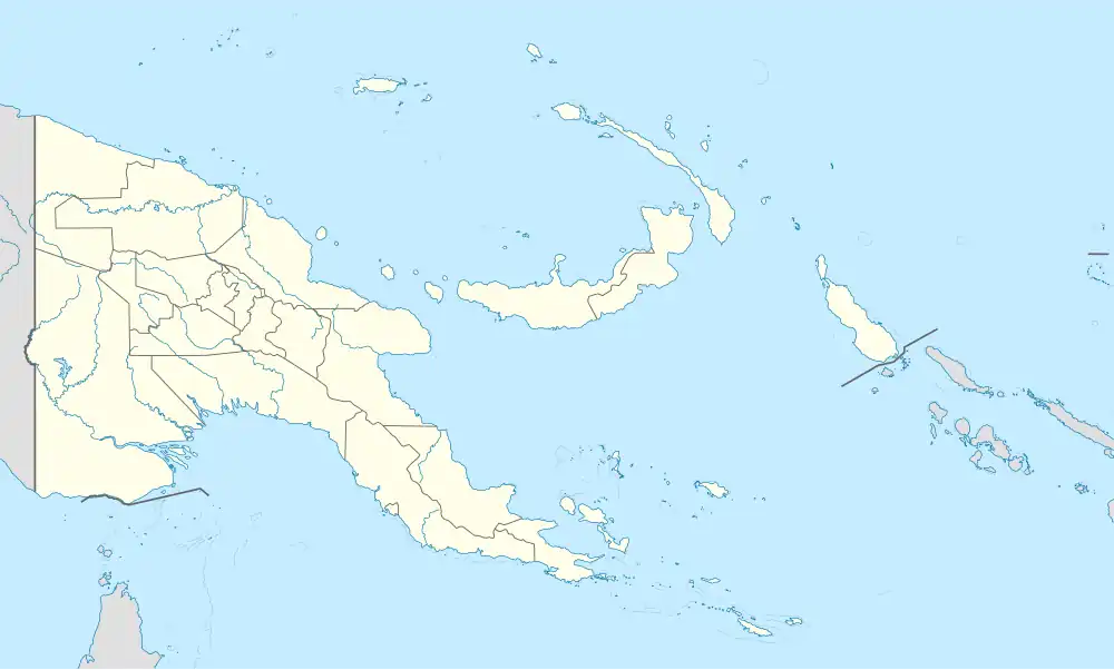
Iyen Island is in the Louisiade Archipelago, within Milne Bay Province of southeastern Papua New Guinea.
It is jurisdictionally in the Yaleyamba Rural Local Level Government Area.
References
Islands of Papua New Guinea | |
|---|---|
| Bismarck Archipelago | |
| Louisiade Archipelago | |
| North Solomon Islands | |